


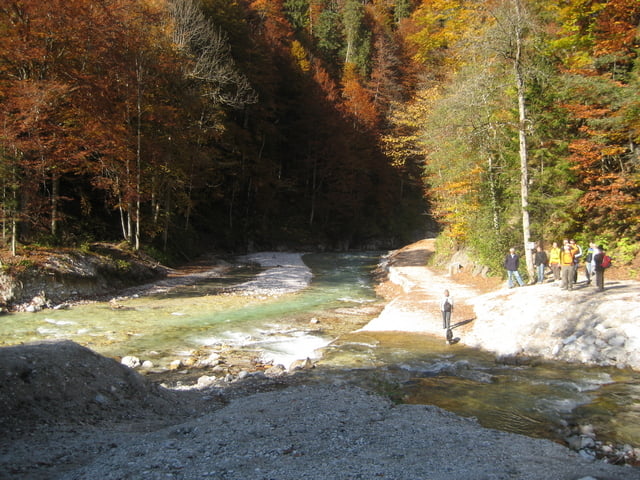
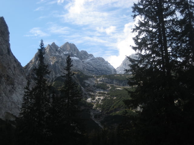
Traumtour ins Reintal
Die Tour ist ähnlich der Tour #4582 allerdings startet sie schon in Eschenlohe. 2 mal 16km zum ein- bzw. ausrollen.
Eine wirklich sehr schöne Tour die allerdings den Wanderern zuliebe nicht am Wochenende gefahren werden sollte. Atemberaubende einblicke ins Reintal.
Teilweise sehr anspruchsvoll. Gute Kondition sollte vorhanden sein. Steigungen bis 24% und Gefälle bis 23%.
Über Feedback würde ich mich freuen.
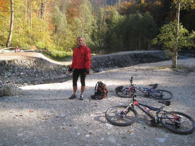
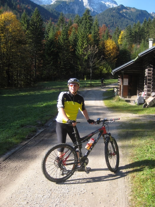
Tour gallery
Tour map and elevation profile
Minimum height 631 m
Maximum height 1382 m
More about the tour author
|
|
Scooty |
Comments

Von München die A95 bis Ausfahrt Eschenlohe. Nach der Ausfahrt links. Über die B2 in den Ort. Am ende der Straße rechts und gleich wieder rechts auf den Parkplatz der Kirche.
GPS tracks
Trackpoints-
GPX / Garmin Map Source (gpx) download
-
TCX / Garmin Training Center® (tcx) download
-
CRS / Garmin Training Center® (crs) download
-
Google Earth (kml) download
-
G7ToWin (g7t) download
-
TTQV (trk) download
-
Overlay (ovl) download
-
Fugawi (txt) download
-
Kompass (DAV) Track (tk) download
-
Track data sheet (pdf) download
-
Original file of the author (gpx) download
More about the tour author
|
|
Scooty |
Add to my favorites
Remove from my favorites
Edit tags
Open track
My score
Rate