
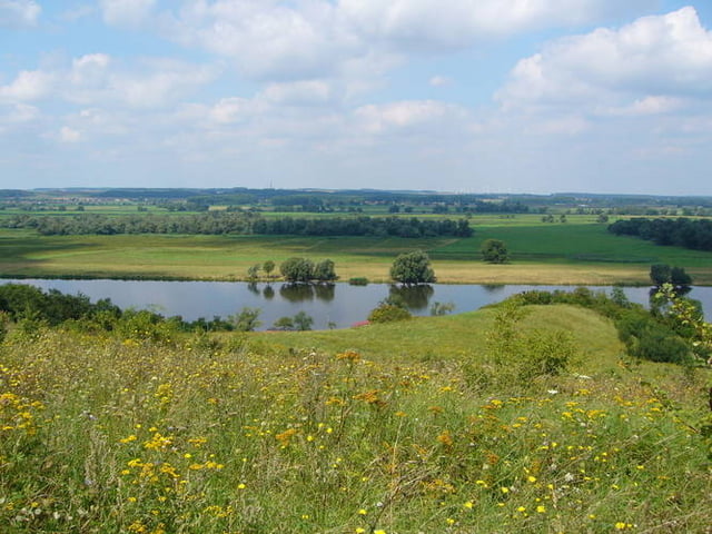

Landschaftich sehr reizvolle Tour entlang der Hohensaaten-Friedrichsthaler Wasserstrasse. Hinzus schnell auf dem asphaltierten Deich bis Criewen, dort durch den Lenné-Park auf dem Trail (Wanderweg weiß-grün-weiß) bis hinter Stützkow. Von Alt-Galow toller Wald am Karpfenteich bis Stolpe, noch besser ist der Buchenwald südlich von Stolpe mit seinen Hügeln, die optimale Streckenführung muss hier jedoch noch gefunden werden, da bei 'Waldfriede' ein Zaun den Bachübergang versperrt. Nach einer Eroberung der Burgwalls in Stolzenhagen zurück über die Felder nach Lunow
Tour map and elevation profile
Minimum height 1 m
Maximum height 60 m
More about the tour author
|
|
komamati-san |
Comments

GPS tracks
Trackpoints-
GPX / Garmin Map Source (gpx) download
-
TCX / Garmin Training Center® (tcx) download
-
CRS / Garmin Training Center® (crs) download
-
Google Earth (kml) download
-
G7ToWin (g7t) download
-
TTQV (trk) download
-
Overlay (ovl) download
-
Fugawi (txt) download
-
Kompass (DAV) Track (tk) download
-
Track data sheet (pdf) download
-
Original file of the author (gpx) download
More about the tour author
|
|
komamati-san |
Add to my favorites
Remove from my favorites
Edit tags
Open track
My score
Rate