


Start in Steinberg nähe Waldhäusl
Achtung : Parkautomaten suchen und bezahlen, kostet sonst 20,00 Euro !!!!!
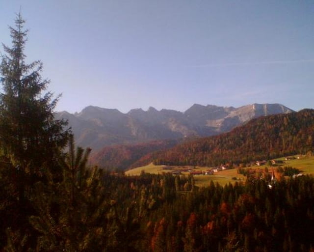
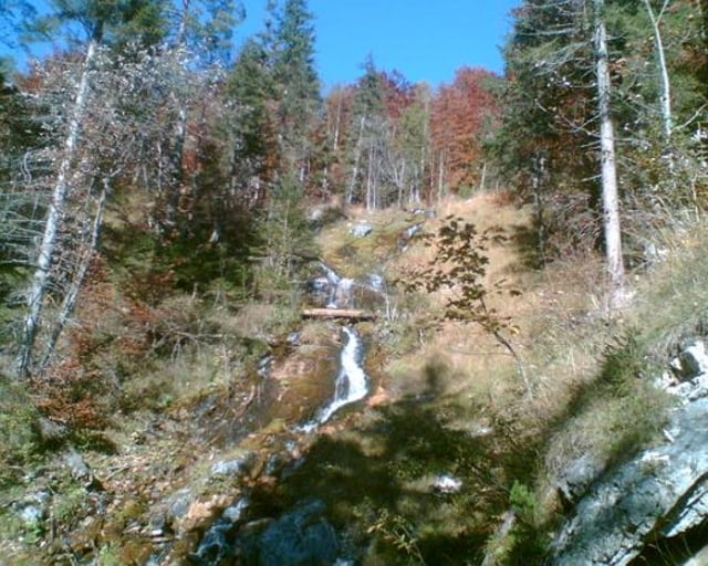
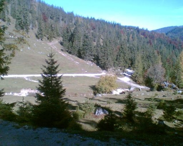
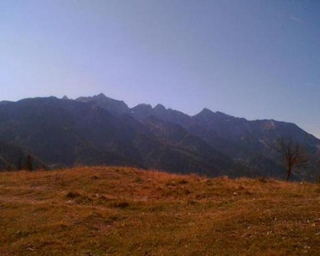
Ansonsten eine traumhafte Herbsttour ( Bilder folgen )
Tour: Nach einer kurzen Auffahrt beginnt dann eine 10 km lange Abfahrt bis Pinneg
Vorsicht - Schotterstrasse ist für Auto und Motorräder freigegeben.
Ab Pinneg zieht sich der Weg ca. 800 hm gröstenteils auf Asphalt dann übergehend in eine super Schotterpiste über Aschau hinauf bis zur Anderl`s - Jausenstation ( grandiose Aussicht und freundliches Personal bast )
Nach der Labbegalm rechts auf schmalen Pfad fahrend oder schiebend zum Ameiskogel mit toller 360° Aussicht.
Die Abfahrt vom Ameiskogel ist, bevor man wieder auf einen Forstweg kommt, sehr steil und grob.
Tour gallery
Tour map and elevation profile
Minimum height 678 m
Maximum height 1547 m
More about the tour author

|
bmwmai |
Comments
GPS tracks
Trackpoints-
GPX / Garmin Map Source (gpx) download
-
TCX / Garmin Training Center® (tcx) download
-
CRS / Garmin Training Center® (crs) download
-
Google Earth (kml) download
-
G7ToWin (g7t) download
-
TTQV (trk) download
-
Overlay (ovl) download
-
Fugawi (txt) download
-
Kompass (DAV) Track (tk) download
-
Track data sheet (pdf) download
-
Original file of the author (gpx) download
More about the tour author
|
|
bmwmai |
Add to my favorites
Remove from my favorites
Edit tags
Open track
My score
Rate
schöne Tour
Danke für dein upload!
Danke für den Kommentar, freud mich daß es dir gefallen hat.
Gruß
Sigi