

Deze tocht start in het duitse plaatsje ''Roetgen" (circa 35 km vanaf duitse grens vaals/aken)
De start en finisch is in de SchleebachStrasse,beneden aan de straat op parking.
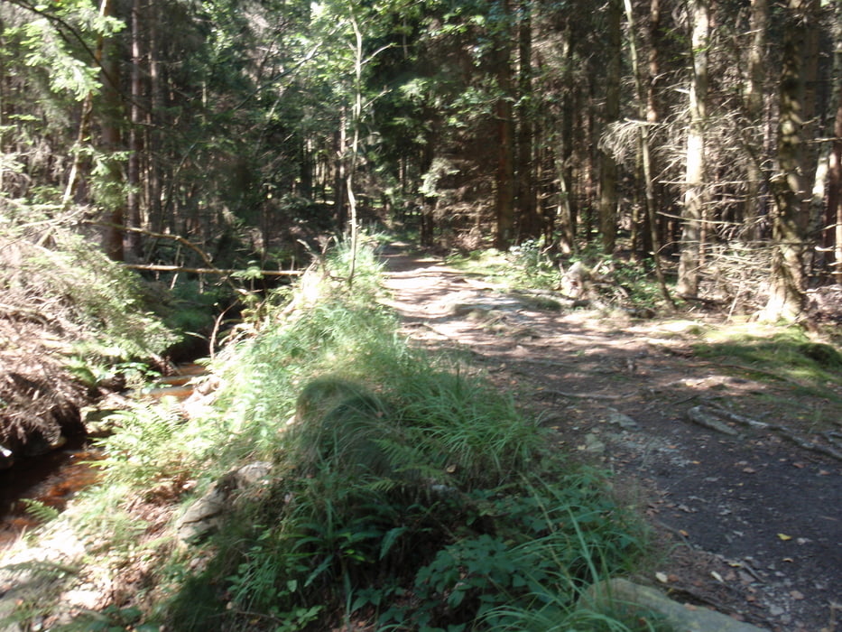
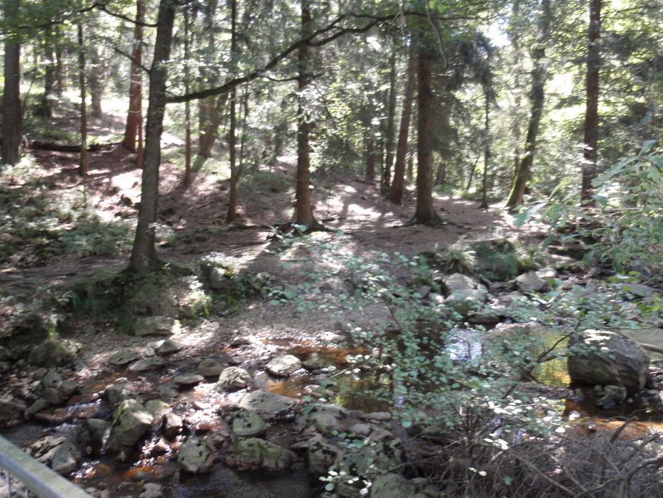
Van hier uit rijden wij de eerste 11 km over een fantastisch mooie vlakke technische singletrail langs een beekje.
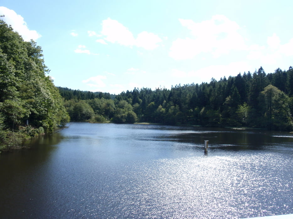
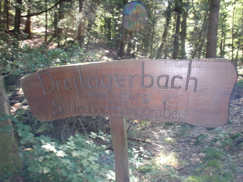
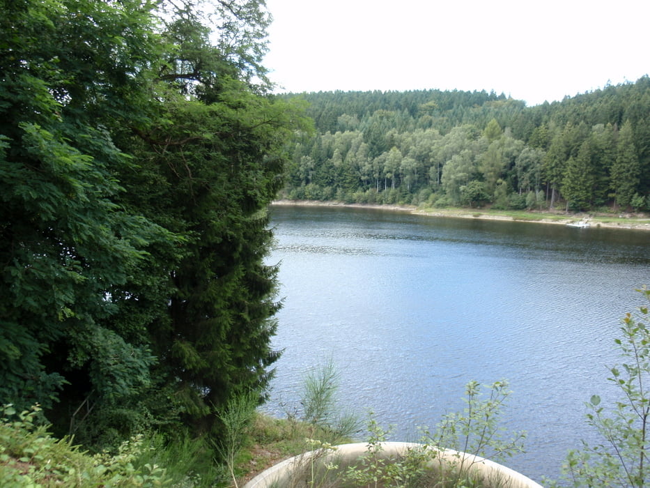
Als eerste komen we bij de "Dreilagerbach talsperre" (stuwmeer) waar we overheen fietsen naar het vervolg van de singletrail.
Daarna rijden we via bredere paden en een mooi singletrail afdaling naar Simonskall,vandaar uit gaan we naar de 2e talsperre...."de Kaltalsperre" (stuwmeer) waar we bijna helemaal omheen biken.
Vandaar uit gaan we weer terug richting de parkeerplaats in Roetgen.
De singletrial is een absolute aanrader !!! Wel veel wortels! Een must voor de hardcore biker!
This tour starts in the German town ' ' Roetgen" (approximately 35 km as from German border vaals/Aachen) The start and finisch is in the SchleebachStrasse, down stairs to the street on parking. Of here from we drive the first 11 km concerning fantastically beautiful flat technical singletrail along a runnel. As a first we come at the " Dreilagerbach talsperre" where we cycle across to the continuation of the singletrail. Afterwards we drive by means of broader paths and beautiful singletrail descent to Simonskall, hence from go we to 2e the talsperre…." the Kaltalsperre" where we almost entirely around chipping. Hence from we return direction the parking place in fumagine gene. The single trial is an absolute must!!! However, many carrots! A must for the hardcore biker!
Dieser tour beginnt in der deutschen Stadt ' ' Roetgen" (ungefähr 35 Kilometer wie von den deutschen grenze vaals/Aachen) ist der Anfang und das finisch im SchleebachStrasse, unten an due Straße auf Parkplatz.. Von hier von fahren uns die ersten 11 Kilometer hinsichtlich des fantastisch schönen flachen technischen singletrail entlang einem runnel. Wie ein erstes wir am " kommen; Dreilagerbach talsperre" wo wir herüber zur Fortsetzung des singletrail einen Kreislauf durchmachen. Danach fahren wir mittels der ausgedehnteren Wege und des schönen singletrail Abfalls zu Simonskall, folglich von gehen wir zu 2e talsperre…." die Kaltalsperre" wo wir fast völlig um die talsperre biken. Folglich von uns Rückrichtung nach den Parkplatz im roetgen. Der singletrail ist ein Absolutes muss!!! Jedoch viele Karotten! A muss für den eingefleischten Radfahrer Turner One !
Tour gallery
Tour map and elevation profile
Minimum height 352 m
Maximum height 575 m
More about the tour author
|
|
BertAusten |
Comments

Schleebach strasse Roetgen -Duitsland/Germany/Deutsland
GPS tracks
Trackpoints-
GPX / Garmin Map Source (gpx) download
-
TCX / Garmin Training Center® (tcx) download
-
CRS / Garmin Training Center® (crs) download
-
Google Earth (kml) download
-
G7ToWin (g7t) download
-
TTQV (trk) download
-
Overlay (ovl) download
-
Fugawi (txt) download
-
Kompass (DAV) Track (tk) download
-
Track data sheet (pdf) download
-
Original file of the author (gpx) download
More about the tour author
|
|
BertAusten |
Add to my favorites
Remove from my favorites
Edit tags
Open track
My score
Rate