


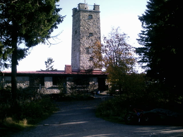
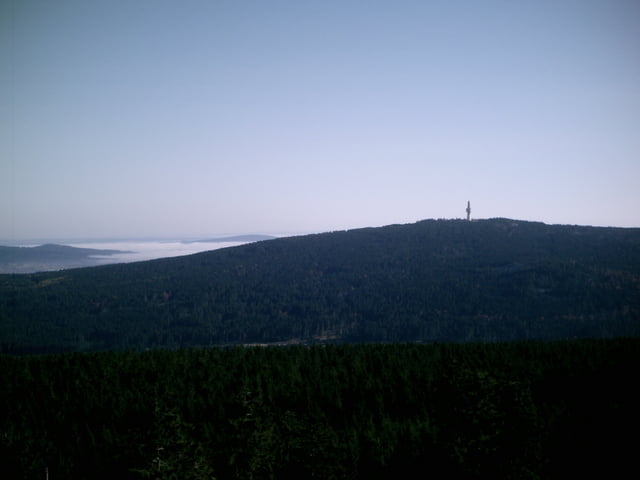
Manchmal kommt es anders als man plant, ich wollte den Ochsenkopf umrunden musste dann aber doch drüber. Der Forst bließ zur Jagd, deshalb war der obere Ringweg gesperrt. Der Weg nach oben begann als Forstweg, zum Schluß musste ich tragen. 500m weiter zurück und dann hoch wäre die bessere Wahl gewesen. Aber man muß das von der sportlichen Seite sehen!
Die Tour beginnt in Goldkronach und führt über Forstwege zum Ochsenkopf, auf halber Strecke abwärts mündet sie in den Winterwanderweg, das ist ein Trail der zum Bullheadhouse führt. Von dort geht es weiter über das Moorbad und Grassemann zurück nach Goldkronach.
Viel Spass!
Tour gallery

Tour map and elevation profile
Minimum height 188 m
Maximum height 1055 m
More about the tour author
|
|
berndhuber |
Comments

GPS tracks
Trackpoints-
GPX / Garmin Map Source (gpx) download
-
TCX / Garmin Training Center® (tcx) download
-
CRS / Garmin Training Center® (crs) download
-
Google Earth (kml) download
-
G7ToWin (g7t) download
-
TTQV (trk) download
-
Overlay (ovl) download
-
Fugawi (txt) download
-
Kompass (DAV) Track (tk) download
-
Track data sheet (pdf) download
-
Original file of the author (gpx) download
More about the tour author
|
|
berndhuber |
Add to my favorites
Remove from my favorites
Edit tags
Open track
My score
Rate