Login

Forgot your login?

Cookies have to be accepted!
Your browser's cookie functionality is disabled. Please enable this functionality.

Not a member yet?

Register now
Login

Available for registred users only

Log in to use this feature.

Forgot your login?

Cookies have to be accepted!
Your browser's cookie functionality is disabled. Please enable this functionality.

Not a member yet?

Register now
Filter
Categories
Advanced filters
  • Distance (km)
  • Height
Save filters Reset filter

TrackRank

QRCode

Technical data

Distance48,8 km Height1248 m Way down1219 m Duration06:30 h:m Date13.10.2008
Scores Author Landscape Fun factor Fitness Technique

Statistics

253 Views Scores 31 Downloads Average
Rate
  • Track data sheet
  • Directions
  • Downloads
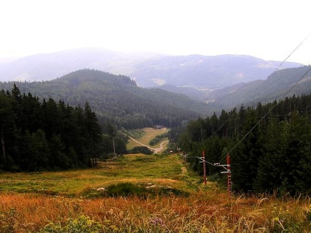
Z Morávky na Slavíč a Kamenitý. odtud dolů do Lomné a zase nahoru na Skalku. po červené celý hřeben směrem na Velký Polom a Malý Polom. Odtud dále směr Slavíč a zpět na Morávku.

Further information at

http://www.horskesporty.cz/view.php?cisloclanku=2006081301

Tour gallery

Tour map and elevation profile

  • Open Street Map
  • Google
Minimum height 475 m Maximum height 998 m Detailed view

More about the tour author

Aldo
Member since 2008

Send private message

Comments

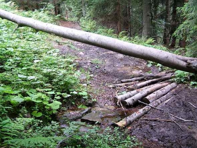
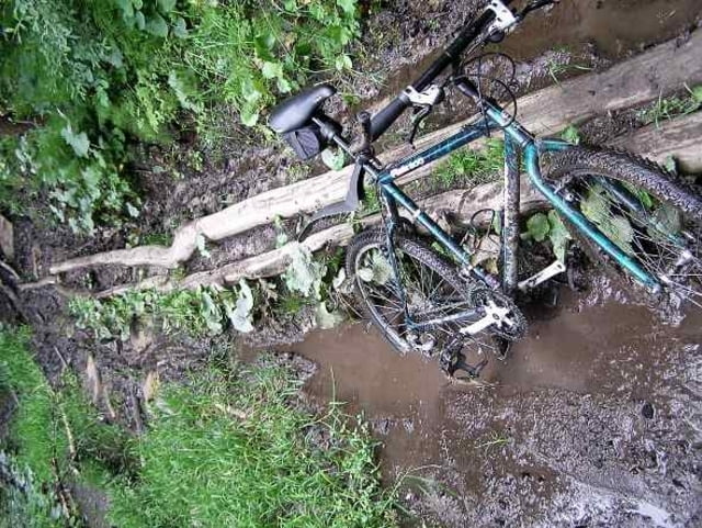
Parkování na Morávce pod přehradou.

GPS tracks

Trackpoints
  • GPX / Garmin Map Source (gpx) download
  • TCX / Garmin Training Center® (tcx) download
  • CRS / Garmin Training Center® (crs) download
  • Google Earth (kml) download
  • G7ToWin (g7t) download
  • TTQV (trk) download
  • Overlay (ovl) download
  • Fugawi (txt) download
  • Kompass (DAV) Track (tk) download
  • Track data sheet (pdf) download
  • Original file of the author (gpx) download

More about the tour author

Aldo
Member since 2008

Send private message
Share track
Add to my favorites
Remove from my favorites
Edit tags
My score
Rate
Track: Bahna - hřebenem Velkého Polomu
Type: Mountain bike
Distance: 48,8 km
Evaluated on:
Duration:
Day(s)
Hour(s)
Minute(s)
Score: Landscape Fun factor Fitness Technique