Login

Forgotten password?

Cookies have to be accepted!
Your browser's cookie functionality is disabled. Please enable this functionality.

Not a member yet?

Register now
Login

Available for registred users only

Log in to use this feature.

Forgotten password?

Cookies have to be accepted!
Your browser's cookie functionality is disabled. Please enable this functionality.

Not a member yet?

Register now
Filter
Categories
Advanced filters
  • Distance (km)
  • Height
Save filters Reset filter

TrackRank

QRCode

Technical data

Distance20,8 km Height772 m Way down777 m Duration05:00 h:m Date13.10.2008
Scores Author Landscape Fun factor Fitness Technique

Statistics

931 Views Scores 253 Downloads Average
Rate
  • Track data sheet
  • Directions
  • Downloads
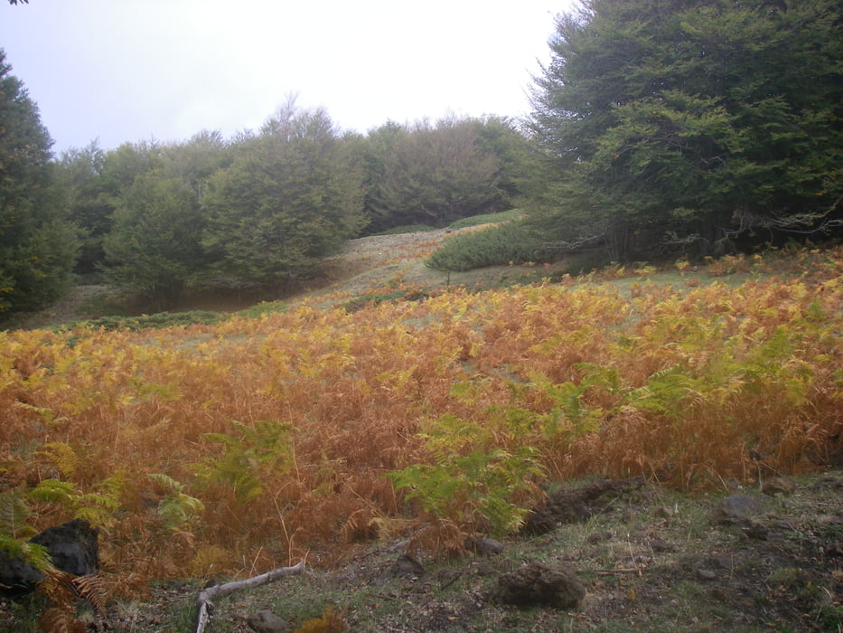
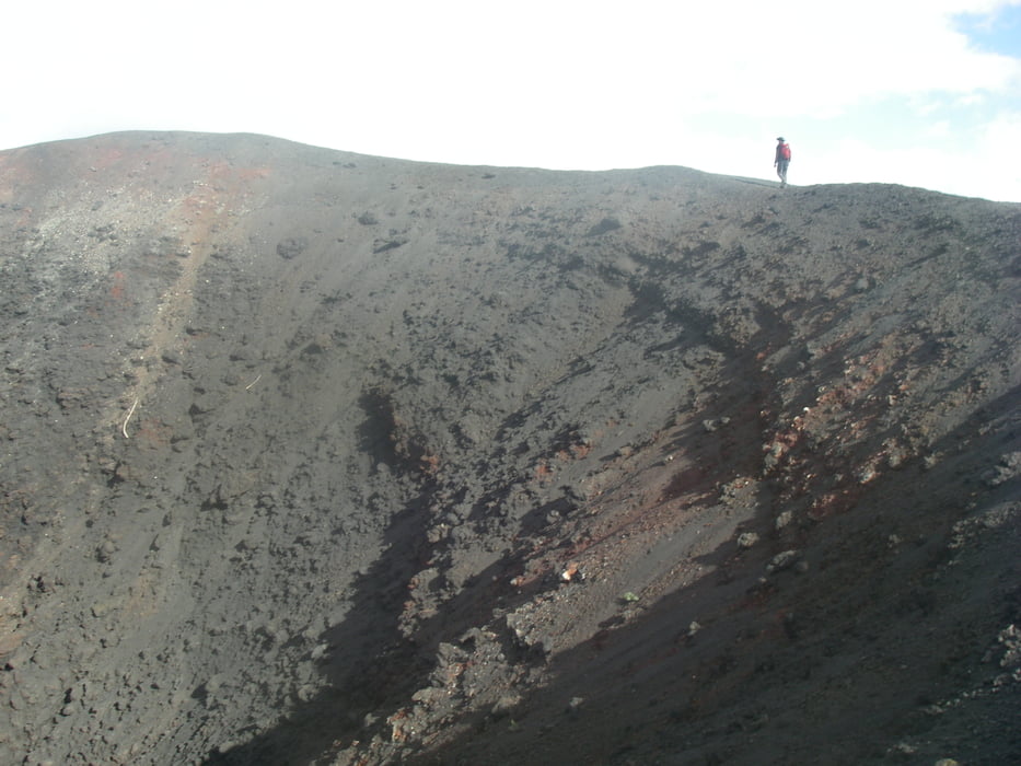
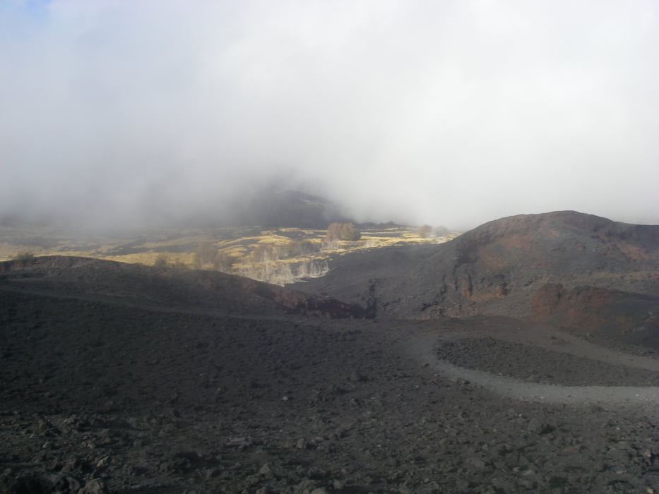
Durch Wälder und Lavaströme zu Nebenkratern. Rückweg über 6 km Asphaltstrasse (alt. ein zweites Auto am Parkplatz Ätna Nord abstellen)

Tour gallery

Tour map and elevation profile

  • Open Street Map
  • Google
Minimum height 1396 m Maximum height 2051 m Detailed view

More about the tour author

radrige
Member since 2008

Send private message

Comments

Startpunkt Rifugio Rabana an der Ätna Strasse

GPS tracks

Trackpoints
  • GPX / Garmin Map Source (gpx) download
  • TCX / Garmin Training Center® (tcx) download
  • CRS / Garmin Training Center® (crs) download
  • Google Earth (kml) download
  • G7ToWin (g7t) download
  • TTQV (trk) download
  • Overlay (ovl) download
  • Fugawi (txt) download
  • Kompass (DAV) Track (tk) download
  • Track data sheet (pdf) download
  • Original file of the author (gpx) download

More about the tour author

radrige
Member since 2008

Send private message
Share track
Add to my favorites
Remove from my favorites
Edit tags
My score
Rate
Track: Höhlen und Krater am Ätna
Type: Hiking
Distance: 20,8 km
Evaluated on:
Duration:
Day(s)
Hour(s)
Minute(s)
Score: Landscape Fun factor Fitness Technique