Login

Forgotten password?

Cookies have to be accepted!
Your browser's cookie functionality is disabled. Please enable this functionality.

Not a member yet?

Register now
Login

Available for registred users only

Log in to use this feature.

Forgotten password?

Cookies have to be accepted!
Your browser's cookie functionality is disabled. Please enable this functionality.

Not a member yet?

Register now
Filter
Categories
Advanced filters
  • Distance (km)
  • Height
Save filters Reset filter

TrackRank

QRCode

Technical data

Distance35,9 km Height728 m Way down728 m Duration00:00 h:m Date24.10.2005
Scores Author Landscape Fun factor Fitness Technique

Statistics

2602 Views Scores 352 Downloads Average
Rate
  • Track data sheet
  • Directions
  • Downloads

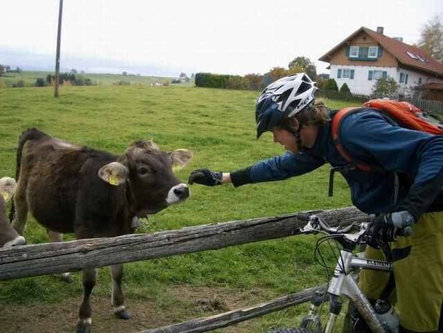
Die Tour für den Nachmittag: Nicht zu stressig, dafür schöne Ausblicke ins Allgäu.

Weitere Infos: http://www.webzelle.de


Further information at

http://www.webzelle.de/?p=2196

Tour gallery

Tour map and elevation profile

  • Open Street Map
  • Google
Minimum height 660 m Maximum height 1066 m Detailed view

More about the tour author

webzelle
Member since 2004

Send private message

Comments

GPS tracks

Trackpoints
  • GPX / Garmin Map Source (gpx) download
  • TCX / Garmin Training Center® (tcx) download
  • CRS / Garmin Training Center® (crs) download
  • Google Earth (kml) download
  • G7ToWin (g7t) download
  • TTQV (trk) download
  • Overlay (ovl) download
  • Fugawi (txt) download
  • Kompass (DAV) Track (tk) download
  • Track data sheet (pdf) download
  • Original file of the author (gpx) download

More about the tour author

webzelle
Member since 2004

Send private message
Share track
Add to my favorites
Remove from my favorites
Edit tags
My score
Rate
Track: Kempten (Allgäu) Der Blender
Type: Mountain bike
Distance: 35,9 km
Evaluated on:
Duration:
Day(s)
Hour(s)
Minute(s)
Score: Landscape Fun factor Fitness Technique