Login

Forgot your login?

Cookies have to be accepted!
Your browser's cookie functionality is disabled. Please enable this functionality.

Not a member yet?

Register now
Login

Available for registred users only

Log in to use this feature.

Forgot your login?

Cookies have to be accepted!
Your browser's cookie functionality is disabled. Please enable this functionality.

Not a member yet?

Register now
Filter
Categories
Advanced filters
  • Distance (km)
  • Height
Save filters Reset filter

TrackRank

QRCode

Technical data

Distance53,1 km Height379 m Way down1495 m Duration00:00 h:m Date14.10.2008
Scores Author Landscape Fun factor Fitness Technique

Statistics

372 Views Scores 70 Downloads Average
Rate
  • Track data sheet
  • Directions
  • Downloads

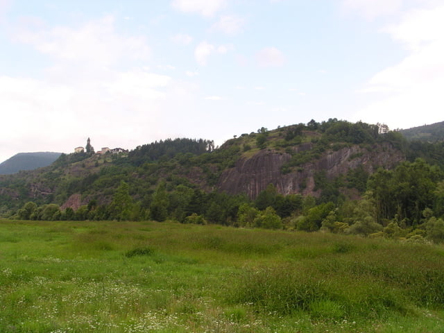
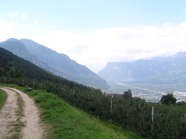
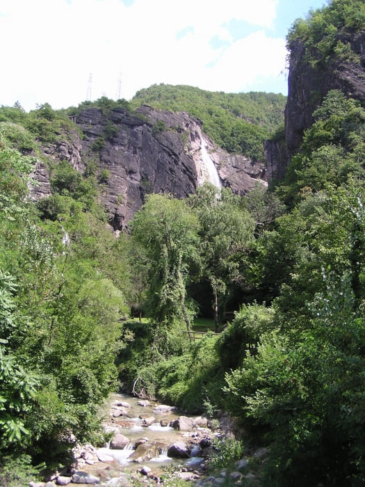
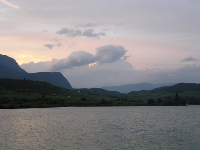
Von Belomonte,über Predazza,Molina ,Passo Di S.lugano nach Auer zum Wasserfall,Landstrasse + Radwege zum Kaltner See.


Ps. Super Leicht

Tour gallery

Tour map and elevation profile

  • Open Street Map
  • Google
Minimum height 230 m Maximum height 1371 m Detailed view

More about the tour author

julianernst
Member since 2007

Send private message

Comments

Stard von der SS-50

GPS tracks

Trackpoints
  • GPX / Garmin Map Source (gpx) download
  • TCX / Garmin Training Center® (tcx) download
  • CRS / Garmin Training Center® (crs) download
  • Google Earth (kml) download
  • G7ToWin (g7t) download
  • TTQV (trk) download
  • Overlay (ovl) download
  • Fugawi (txt) download
  • Kompass (DAV) Track (tk) download
  • Track data sheet (pdf) download
  • Original file of the author (gpx) download

More about the tour author

julianernst
Member since 2007

Send private message
Share track
Add to my favorites
Remove from my favorites
Edit tags
My score
Rate
Track: Rollen bis zum Kaltner See über Auer
Type: Mountain bike
Distance: 53,1 km
Evaluated on:
Duration:
Day(s)
Hour(s)
Minute(s)
Score: Landscape Fun factor Fitness Technique