


Runde um das Wertacher Hörnle
Startpunkt ist das Rathaus in Wertach, wo auch kostenlos geparkt werden kann. Nach einer kurzen, aber kernigen Auffahrt zur Schnitzlertalalpe gelangt man nach einem kurzen, aber interessanten Downhill nach Unterjoch. Von dort fährt man parallel zur B310 über Hindelang und Sonthofen nach Winkel, wo die geteerte Straße Richtung Dreiangelhaus (Einkehrmöglichkeit) beginnt. Der Weg führt zurück über Silberbergwerk-Erlebniswelt und Gigglsteinhaus zur Hinteren Köllealp. Von dort beginnt nach einem kurzen Trageteil zur Vorderen Köllealp der problemlose Downhill Richtung Wertach.
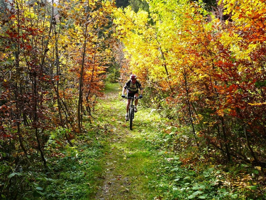
Tour gallery

Tour map and elevation profile
Minimum height 99999 m
Maximum height -99999 m
More about the tour author
|
|
olifel62 |
Comments

Autobahn A7 bis Oy- Mittelberg, von dort parallel zum Grüntensee nach Wertach. Tourenbeginn im Ortszentrum Wertach am Rathaus/Touristinfo.
GPS tracks
Trackpoints-
GPX / Garmin Map Source (gpx) download
-
TCX / Garmin Training Center® (tcx) download
-
CRS / Garmin Training Center® (crs) download
-
Google Earth (kml) download
-
G7ToWin (g7t) download
-
TTQV (trk) download
-
Overlay (ovl) download
-
Fugawi (txt) download
-
Kompass (DAV) Track (tk) download
-
Track data sheet (pdf) download
-
Original file of the author (gpx) download
More about the tour author
|
|
olifel62 |
Add to my favorites
Remove from my favorites
Edit tags
Open track
My score
Rate