
")

Tolle Tour mit super Aussicht auf den Attersee
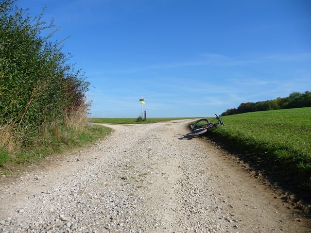
Der Start ist beim Wirt in Witzling, dann geht´s auf dem R6 nach Egning. Weiter über Piesdorf, Rubensdorf nach Baum und kurz vor Eisenpalmsdorf links nach Berg abbiegen. Von Berg aus gehts auf den Buchberg. Beim Jagastüberl ( Gipfel 808m ) vorbei nach ca 100m rechts über die neue Forststraße zurück nach Berg. Der Weg zurück geht über Haining - Kemating - Steindorf nach Kraims (fast alles auf Feldwegen). Weiter geht`s über Reichersberg nach Weiterschwang. In Weiterschwang rechts abbiegen und dem Radweg bis nach Witzling folgen.
Viel Spaß!
Tour gallery


Tour map and elevation profile
Minimum height 471 m
Maximum height 793 m
More about the tour author
|
|
jackpot |
Comments

Auf der B1 aus Salzburg Richtung Linz in Bierbaum die erste Ausfahrt im Kreisverkehr nehmen. In Witzling Parkplatz suchen und los geht`s
GPS tracks
Trackpoints-
GPX / Garmin Map Source (gpx) download
-
TCX / Garmin Training Center® (tcx) download
-
CRS / Garmin Training Center® (crs) download
-
Google Earth (kml) download
-
G7ToWin (g7t) download
-
TTQV (trk) download
-
Overlay (ovl) download
-
Fugawi (txt) download
-
Kompass (DAV) Track (tk) download
-
Track data sheet (pdf) download
-
Original file of the author (gpx) download
More about the tour author
|
|
jackpot |
Add to my favorites
Remove from my favorites
Edit tags
Open track
My score
Rate