Login

Forgot your login?

Cookies have to be accepted!
Your browser's cookie functionality is disabled. Please enable this functionality.

Not a member yet?

Register now
Login

Available for registred users only

Log in to use this feature.

Forgot your login?

Cookies have to be accepted!
Your browser's cookie functionality is disabled. Please enable this functionality.

Not a member yet?

Register now
Filter
Categories
Advanced filters
  • Distance (km)
  • Height
Save filters Reset filter

TrackRank

QRCode

Technical data

Distance66,9 km Height974 m Way down999 m Duration04:00 h:m Date18.10.2008
Scores Author Landscape Fun factor Fitness Technique

Statistics

847 Views Scores 87 Downloads Average
Rate
  • Track data sheet
  • Directions
  • Downloads
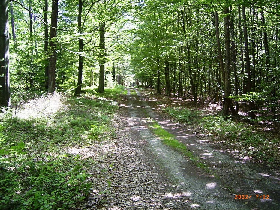
Framersbach - Lohr - Steinbach - durch das Buchental nach Maria Buchen - steiler Anstieg hinauf - überqueren der Staatsstraße und dem Schotterweg (Radweg) nach Waldzell folgen - am Ortseingang rechts zur Gertraudenkapelle - ab hier dem Wanderweg (roter Punkt) über Ansbach - Roden - Karbach bis nach Marktheidenfeld folgen. Zurück am Main entlang nach Lohr und den Talradweg nach Frammersbach.

Tour map and elevation profile

  • Open Street Map
  • Google
Minimum height 37 m Maximum height 362 m Detailed view

More about the tour author

feilenfritz
Member since 2008

Send private message

Comments

GPS tracks

Trackpoints
  • GPX / Garmin Map Source (gpx) download
  • TCX / Garmin Training Center® (tcx) download
  • CRS / Garmin Training Center® (crs) download
  • Google Earth (kml) download
  • G7ToWin (g7t) download
  • TTQV (trk) download
  • Overlay (ovl) download
  • Fugawi (txt) download
  • Kompass (DAV) Track (tk) download
  • Track data sheet (pdf) download
  • Original file of the author (gpx) download

More about the tour author

feilenfritz
Member since 2008

Send private message
Share track
Add to my favorites
Remove from my favorites
Edit tags
My score
Rate
Track: Frammersbach - Fränkische Platte - Marktheidenfeld
Type: Mountain bike
Distance: 66,9 km
Evaluated on:
Duration:
Day(s)
Hour(s)
Minute(s)
Score: Landscape Fun factor Fitness Technique