


Flache Tour. Asphalt lässt sich nicht vermeiden. Ein paar trockene Tage abwarten, bevor man diese Tour fährt. Achtung: unbedingt links herum (im Uhrzeigersinn) fahren, da anders herum an einer Stelle Durchfahrtverbot besteht. Damit es nicht gar zu leicht ist, sind auch einige Trampelpfade eingebaut und dafür geht es dann auch ein wenig zick, zack. In Burgdorf am Bahnhof Gaststätte und Imbiss und in der Nähe Hallenfreibad. Nicht allzu weit ist eine Autowaschanlage, um das Rad zu säubern. (Neue Straßenführung nach Bau der Umleitungsstraße wurde mit Version 2.1. berücksichtigt).
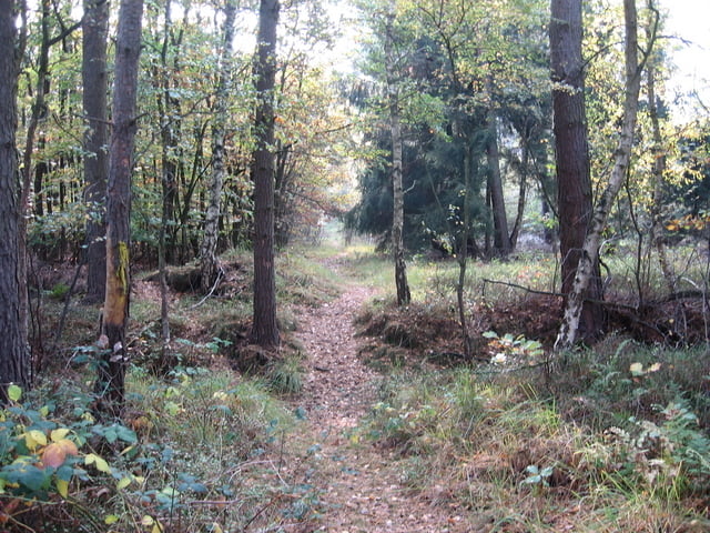
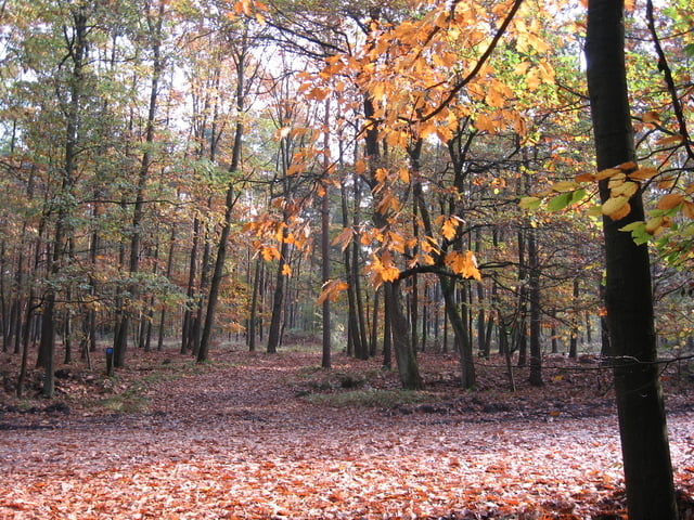
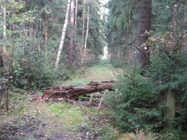
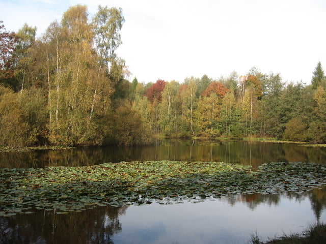
Tour gallery
Tour map and elevation profile
Minimum height 35 m
Maximum height 95 m
More about the tour author

|
bernsteinabglanz |
Comments

Bahnhof Burgdorf, Stadtmitte, kostenlose Parkplätze im Parkhaus, Fahrradmitnahme im Zug zeitweise frei.
GPS tracks
Trackpoints-
GPX / Garmin Map Source (gpx) download
-
TCX / Garmin Training Center® (tcx) download
-
CRS / Garmin Training Center® (crs) download
-
Google Earth (kml) download
-
G7ToWin (g7t) download
-
TTQV (trk) download
-
Overlay (ovl) download
-
Fugawi (txt) download
-
Kompass (DAV) Track (tk) download
-
Track data sheet (pdf) download
-
Original file of the author (gpx) download
More about the tour author
|
|
bernsteinabglanz |
Add to my favorites
Remove from my favorites
Edit tags
Open track
My score
Rate