Login

Forgot your login?

Cookies have to be accepted!
Your browser's cookie functionality is disabled. Please enable this functionality.

Not a member yet?

Register now
Login

Available for registred users only

Log in to use this feature.

Forgot your login?

Cookies have to be accepted!
Your browser's cookie functionality is disabled. Please enable this functionality.

Not a member yet?

Register now
Filter
Categories
Advanced filters
  • Distance (km)
  • Height
Save filters Reset filter

TrackRank

QRCode

Technical data

Distance40,4 km Height929 m Way down959 m Duration03:00 h:m Date19.10.2008
Scores Author User Landscape Fun factor Fitness Technique

Statistics

867 Views 1 Score 200 Downloads 4.00 Average
Rate
  • Track data sheet
  • Directions
  • Downloads

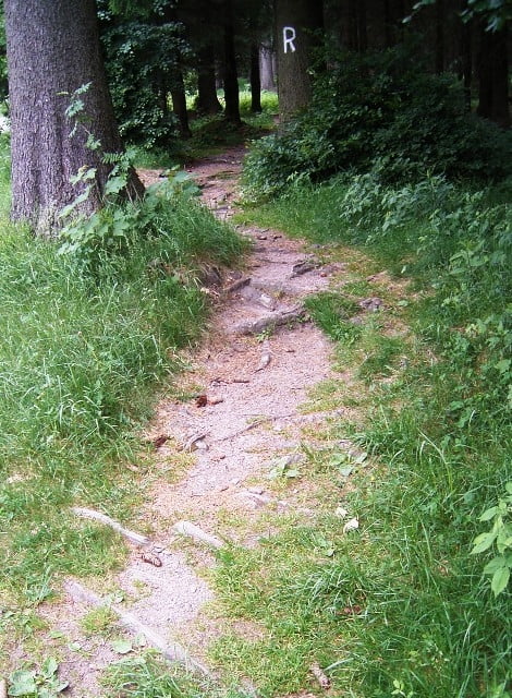
Von Frauenwald nach Allzunah -  kurze Passage über den Rennsteig - weiter über eine Trailabfahrt Richtung Stützerbach. - über den Panoramaweg oberhalb Stützerbach Auffahrt zum Kikelhahn - am Goethehäuschen vorbei beginnt eine Trailabfaht bis nach Manebach - von hier durch das Tal bis zum Campingplatz "Mayergrund" - dem Radweg folgen bis hinauf zur Schmücke - von dort über den Rennsteigwanderweg zurück nach Frauenwald.

Tour map and elevation profile

  • Open Street Map
  • Google
Minimum height 508 m Maximum height 912 m Detailed view

More about the tour author

feilenfritz
Member since 2008

Send private message

Comments

GPS tracks

Trackpoints
  • GPX / Garmin Map Source (gpx) download
  • TCX / Garmin Training Center® (tcx) download
  • CRS / Garmin Training Center® (crs) download
  • Google Earth (kml) download
  • G7ToWin (g7t) download
  • TTQV (trk) download
  • Overlay (ovl) download
  • Fugawi (txt) download
  • Kompass (DAV) Track (tk) download
  • Track data sheet (pdf) download
  • Original file of the author (gpx) download

More about the tour author

feilenfritz
Member since 2008

Send private message
Share track
Add to my favorites
Remove from my favorites
Edit tags
My score
Rate
Track: Frauenwald-Kikelhahn Rundtour
Type: Mountain bike
Distance: 40,4 km
Evaluated on:
Duration:
Day(s)
Hour(s)
Minute(s)
Score: Landscape Fun factor Fitness Technique