


Parkplätze in Rottau bei der Kirche und etwas nördlicher beim Friedhof.
Zuächst auf dem Radweg der B305 rd. 3km bis Grassau, dann scharf rechts. Mit dem Verkehr ist es jetzt vorbei.
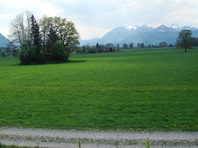
Es geht weiter auf Sand- und verkehrsarmen Straßen (bis auf kurze Ausnahmen) über Schleching, Unterwössen, Marquardstein nach Übersee und Rottau. Der Weg folgt weitgehend der Beschilderung: Achental Radweg, aber nicht immer und besonders nicht gegen dem Ende zu.
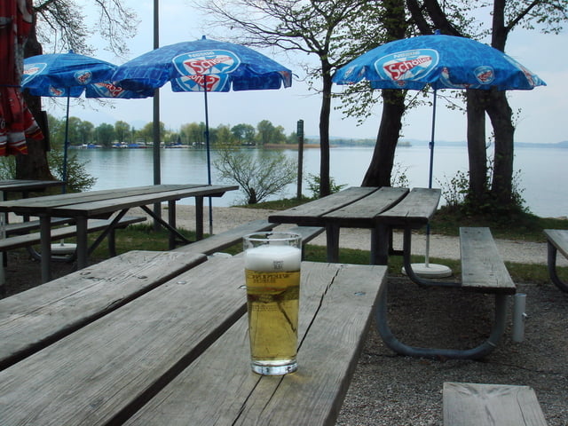
Einkehrmöglichkeiten gibt es genügend, auch ein Bad im Chiemsee ist möglich.
Trekkingrad erforderlich
Tour gallery
Tour map and elevation profile
Minimum height 518 m
Maximum height 616 m
More about the tour author
|
|
Gritschen |
Comments

Autobahn München Salzburg, Ausfahrt Bernau, dann links nach Rottau.
GPS tracks
Trackpoints-
GPX / Garmin Map Source (gpx) download
-
TCX / Garmin Training Center® (tcx) download
-
CRS / Garmin Training Center® (crs) download
-
Google Earth (kml) download
-
G7ToWin (g7t) download
-
TTQV (trk) download
-
Overlay (ovl) download
-
Fugawi (txt) download
-
Kompass (DAV) Track (tk) download
-
Track data sheet (pdf) download
-
Original file of the author (gpx) download
More about the tour author
|
|
Gritschen |
Add to my favorites
Remove from my favorites
Edit tags
Open track
My score
Rate