


Trekkingtour
Beginn und Ende ist Laufen an der Salzach, Briouder-Platz (Salzachhalle) Unter dem Platz kostenfreie Tiefgarage.
Vom Platz ganz kurz links auf der Hauptstraße und dann einen schmalen Weg nach rechts, steil bergauf. Ab jetzt kaum noch Verkehr.
Einkehrmöglichkeit in Teisendorf und beim Klosterwirt am Höglwörthersee. Schöner Biergarten und gutes Essen. Dienstag Ruhetag.
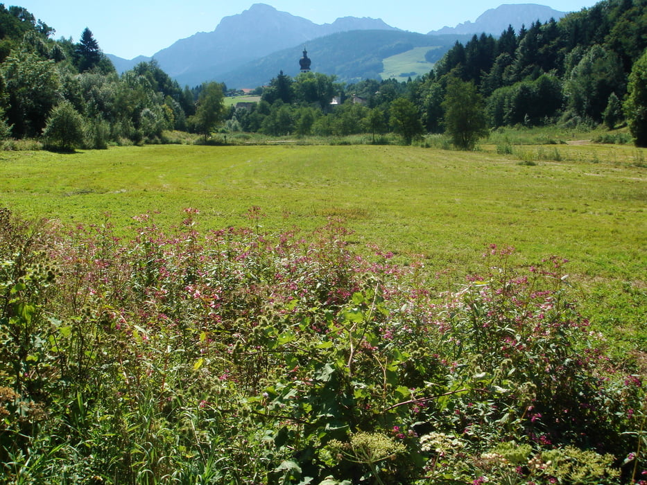
Sehr schöne Landschaft mit teils romantischen Strecken. Vor allem der See und das Kloster
sind beeindruckend.
Das Höhenprofil ist falsch, ich weiß nicht warum.
Tour gallery

Tour map and elevation profile
Minimum height 401 m
Maximum height 1511 m
More about the tour author
|
|
Gritschen |
Comments

Mit Auto kommt man direkt an der Salzachhalle vorbei, sie ist damit leicht zu finden.
Zug von Mühldorf, Freilassing oder von Salzburg.
GPS tracks
Trackpoints-
GPX / Garmin Map Source (gpx) download
-
TCX / Garmin Training Center® (tcx) download
-
CRS / Garmin Training Center® (crs) download
-
Google Earth (kml) download
-
G7ToWin (g7t) download
-
TTQV (trk) download
-
Overlay (ovl) download
-
Fugawi (txt) download
-
Kompass (DAV) Track (tk) download
-
Track data sheet (pdf) download
-
Original file of the author (gpx) download
More about the tour author
|
|
Gritschen |
Add to my favorites
Remove from my favorites
Edit tags
Open track
My score
Rate