
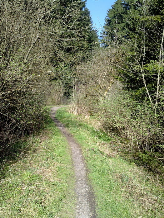

Wir starten im Industriegebiet in VS-Schwenningen. Von dort führt der Weg über die Frühlingshalde in´s Bad Dürrheimer Wittmanntal. Über Trails erreichen wir den Kapfwald. Dort passieren wir das Waldcafe auf der Höhe von Hochemmingen, vorbei am Luisenbrunnen und Schützenhaus erreichen wir den Salinensee. Nun tangieren wir das Schwenninger Moos und über VS-Zollhaus geht es zu den letzen Trails der Tour, in´s Natzental.
Die Biketour hat einen hohen Trailanteil. :-)
Tour map and elevation profile
Minimum height
Maximum height
More about the tour author
|
|
Tom19 |
Comments

Siehe Daten
GPS tracks
Trackpoints-
GPX / Garmin Map Source (gpx) download
-
TCX / Garmin Training Center® (tcx) download
-
CRS / Garmin Training Center® (crs) download
-
Google Earth (kml) download
-
G7ToWin (g7t) download
-
TTQV (trk) download
-
Overlay (ovl) download
-
Fugawi (txt) download
-
Kompass (DAV) Track (tk) download
-
Track data sheet (pdf) download
-
Original file of the author (gpx) download
More about the tour author
|
|
Tom19 |
Add to my favorites
Remove from my favorites
Edit tags
Open track
My score
Rate