Login

Forgot your login?

Cookies have to be accepted!
Your browser's cookie functionality is disabled. Please enable this functionality.

Not a member yet?

Register now
Login

Available for registred users only

Log in to use this feature.

Forgot your login?

Cookies have to be accepted!
Your browser's cookie functionality is disabled. Please enable this functionality.

Not a member yet?

Register now
Filter
Categories
Advanced filters
  • Distance (km)
  • Height
Save filters Reset filter

TrackRank

QRCode

Technical data

Distance33,9 km Height931 m Way down1350 m Duration03:30 h:m Date21.10.2008
Scores Author Landscape Fun factor Fitness Technique

Statistics

232 Views Scores 17 Downloads Average
Rate
  • Track data sheet
  • Directions
  • Downloads
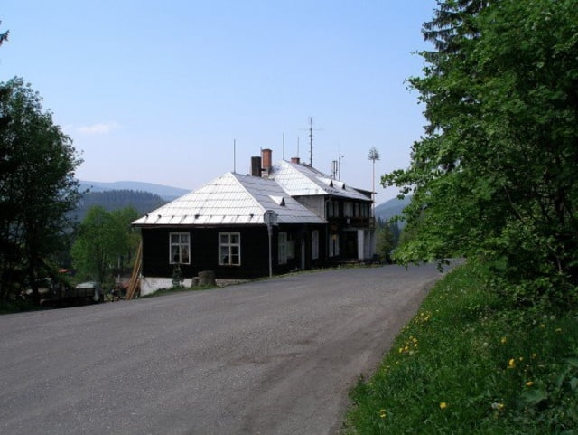
Klasická beskydská hřebenovka. Začátek je na chatě Slavíč a konec na Lysé hoře. Track je protažen až k hospodě Rekreant na Krásné. Kudma se dostanete na Slavíč je už na vás. Je možno nechat auto u hotelu na Pražmě a po asfaltu dojet na Slavíč. Dále od hospody Rekreant zpět k hotelu.
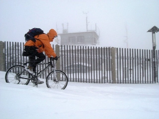
Tour gallery

Tour map and elevation profile

  • Open Street Map
  • Google
Minimum height 488 m Maximum height 1316 m Detailed view

More about the tour author

Aldo
Member since 2008

Send private message

Comments

GPS tracks

Trackpoints
  • GPX / Garmin Map Source (gpx) download
  • TCX / Garmin Training Center® (tcx) download
  • CRS / Garmin Training Center® (crs) download
  • Google Earth (kml) download
  • G7ToWin (g7t) download
  • TTQV (trk) download
  • Overlay (ovl) download
  • Fugawi (txt) download
  • Kompass (DAV) Track (tk) download
  • Track data sheet (pdf) download
  • Original file of the author (gpx) download

More about the tour author

Aldo
Member since 2008

Send private message
Share track
Add to my favorites
Remove from my favorites
Edit tags
My score
Rate
Track: Slavíč - Lysá Hora
Type: Mountain bike
Distance: 33,9 km
Evaluated on:
Duration:
Day(s)
Hour(s)
Minute(s)
Score: Landscape Fun factor Fitness Technique