


This is a combinatioon of 2 other tracks I have already published and is the best one for autumn and spring when the colours are at their finest.
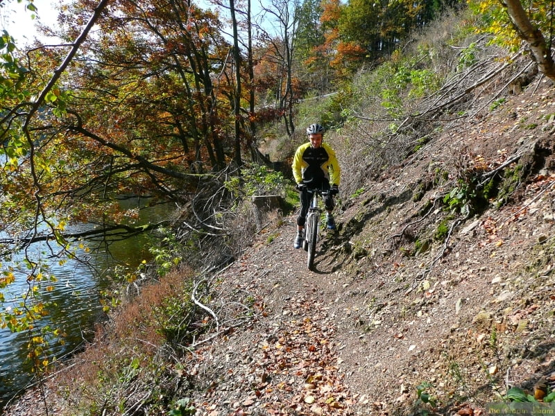
The scenery is breathtaking and some of the trails are quite tricky, especially the single trail round the edge of the lake at Robertville (this can easily be avoided by sticking to the road if you don't want the tricky route)
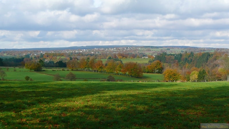
The scenery from above Robertville is fantastic.
You need pretty good condition for some of the very steep climbs
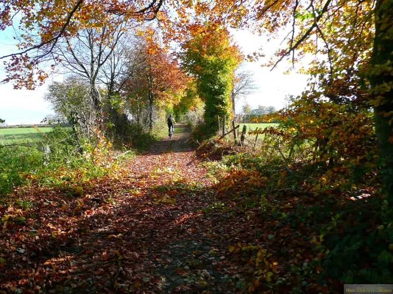
There are a few technical passages but they are not very long so if you have to walk them, it is not a disaster.
Further information at
http://www.creamteam.beTour gallery
Tour map and elevation profile
Minimum height 338 m
Maximum height 562 m
More about the tour author
|
|
Cream Team |
Comments
Start and finish at the cathedral in Malmedy and follow the track clockwise going up the Warche valley to the lake at Robertville
GPS tracks
Trackpoints-
GPX / Garmin Map Source (gpx) download
-
TCX / Garmin Training Center® (tcx) download
-
CRS / Garmin Training Center® (crs) download
-
Google Earth (kml) download
-
G7ToWin (g7t) download
-
TTQV (trk) download
-
Overlay (ovl) download
-
Fugawi (txt) download
-
Kompass (DAV) Track (tk) download
-
Track data sheet (pdf) download
-
Original file of the author (gpx) download
More about the tour author
|
|
Cream Team |
Add to my favorites
Remove from my favorites
Edit tags
Open track
My score
Rate
tocht Malmedy