Login

Forgot your login?

Cookies have to be accepted!
Your browser's cookie functionality is disabled. Please enable this functionality.

Not a member yet?

Register now
Login

Available for registred users only

Log in to use this feature.

Forgot your login?

Cookies have to be accepted!
Your browser's cookie functionality is disabled. Please enable this functionality.

Not a member yet?

Register now
Filter
Categories
Advanced filters
  • Distance (km)
  • Height
Save filters Reset filter

TrackRank

QRCode

Technical data

Distance47,6 km Height757 m Way down393 m Duration02:17 h:m Date24.10.2008
Scores Author Landscape Fun factor Fitness Technique

Statistics

436 Views Scores 42 Downloads Average
Rate
  • Track data sheet
  • Directions
  • Downloads

Hohe Hessel ist ein Hügel Nähe Rhein-Weser-Turm mit  ca  743  m  Gipfelhöhe

Der Anstieg ist human und ohne Probleme zu schaffen.

Kaffe, Kuchen und Aussicht gibts nicht. Wer das braucht, muß
wieder knappe 4km zum Rhein-Weserturm zurückrollen lassen.

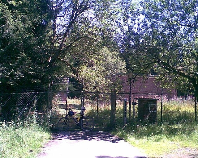
Bitte langsam fahren, fürstlicher Privatwald

Alles Straßen sind geteert und mindestens Treckingradtauglich.


Tour gallery

Tour map and elevation profile

  • Open Street Map
  • Google
Minimum height 316 m Maximum height 742 m Detailed view

More about the tour author

hilmar
Member since 2010

Send private message

Comments

Alles Landstraße und ca 4km Privatweg im Fürstenwald


GPS tracks

Trackpoints
  • GPX / Garmin Map Source (gpx) download
  • TCX / Garmin Training Center® (tcx) download
  • CRS / Garmin Training Center® (crs) download
  • Google Earth (kml) download
  • G7ToWin (g7t) download
  • TTQV (trk) download
  • Overlay (ovl) download
  • Fugawi (txt) download
  • Kompass (DAV) Track (tk) download
  • Track data sheet (pdf) download
  • Original file of the author (gpx) download

More about the tour author

hilmar
Member since 2010

Send private message
Share track
Add to my favorites
Remove from my favorites
Edit tags
My score
Rate
Track: Hohe Hessel
Type: Trekkingbike
Distance: 47,6 km
Evaluated on:
Duration:
Day(s)
Hour(s)
Minute(s)
Score: Landscape Fun factor Fitness Technique