


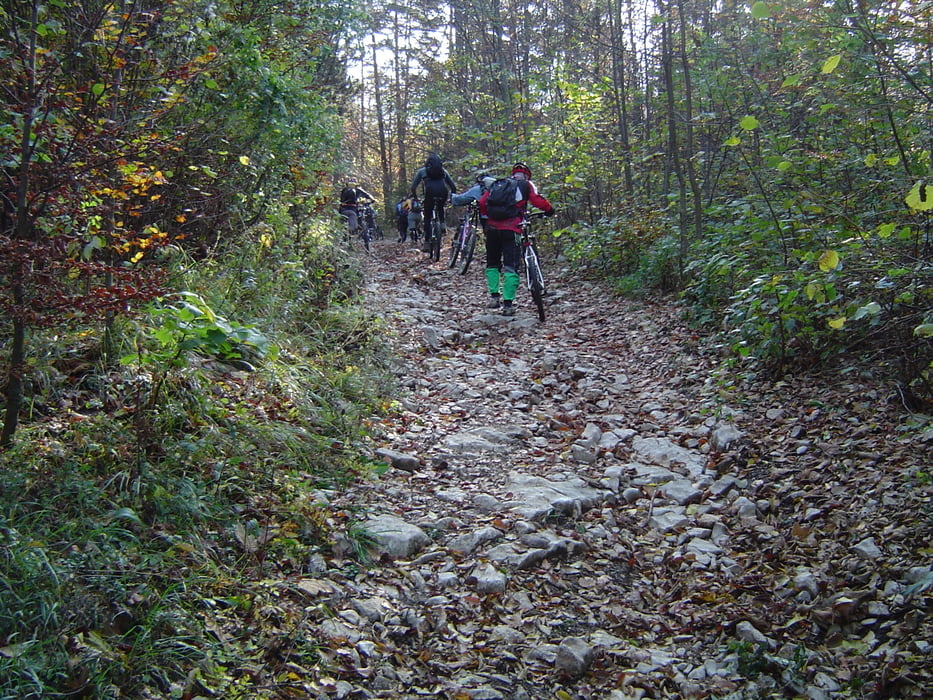
Začetek poti;Trnje pri Pivki,nato pa makedamska in pohodna pot do vrha Svete Trojice 1106mnv,marsikje bo treba sestopiti,ali pa tudi ne.
Večino časa se vozi po gozdu,jesenske brave pa delajo družbo do vrha.
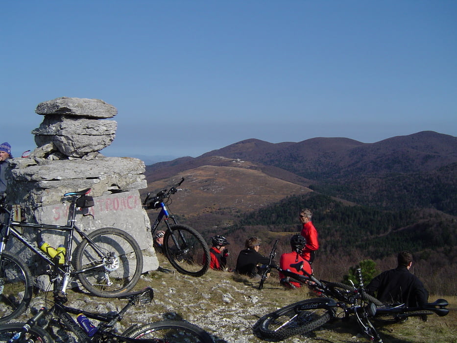
Na vrhu Svete Trojice,nas pozdravi v 17. stoletju požgana in sedaj delno renovirana cerkev.
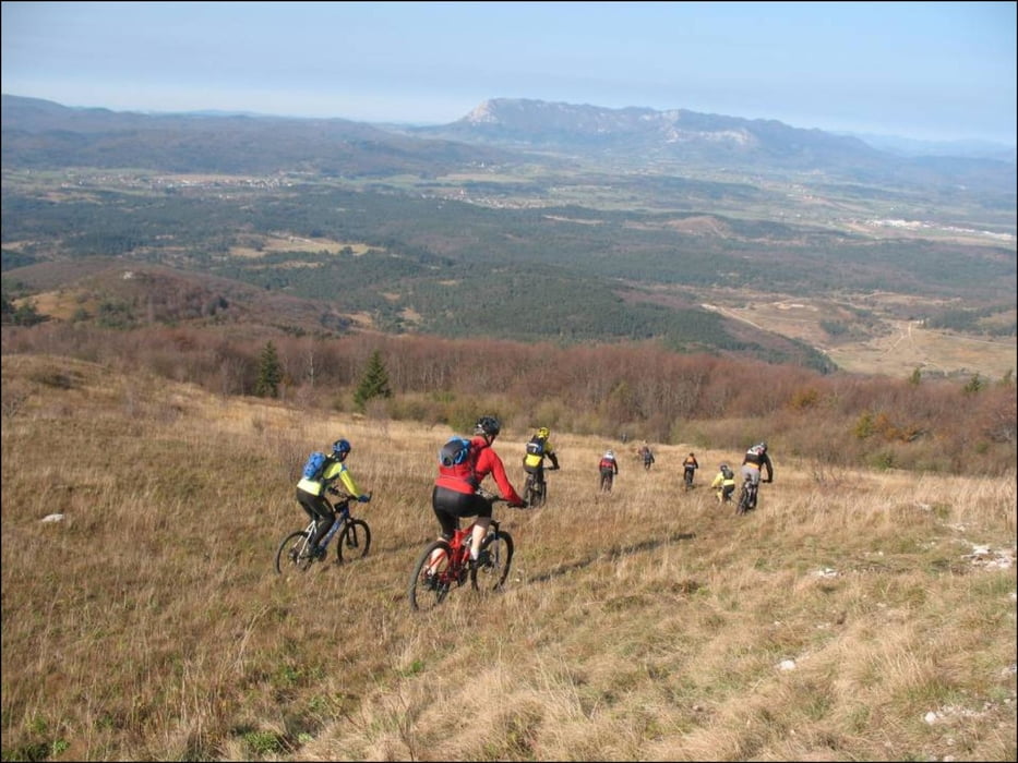
Spust je izpeljan po pohodni poti,zato ne bo odveč malo znanosti v DH vožnji.
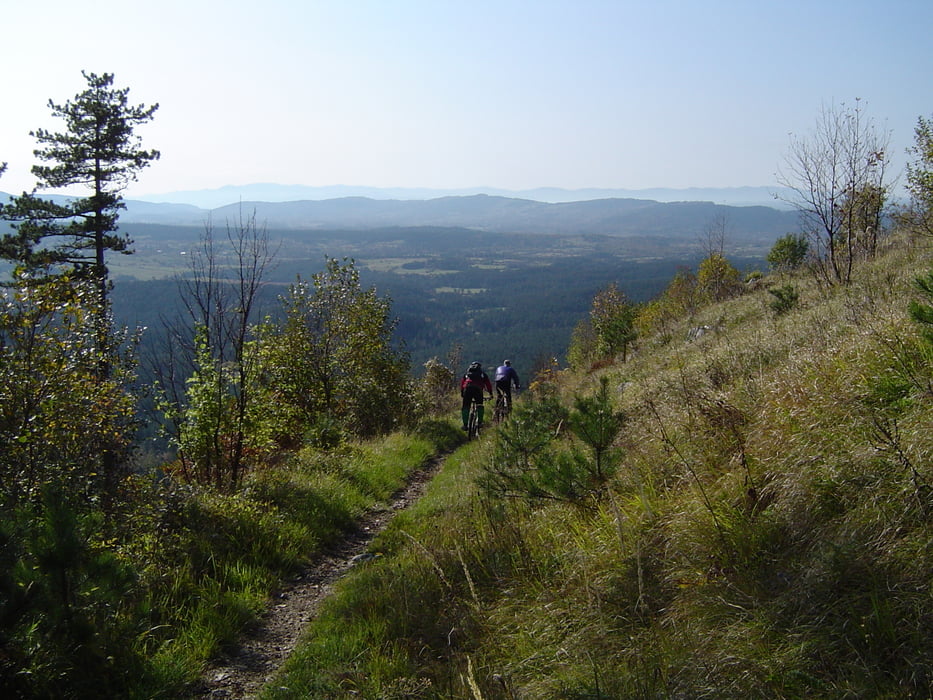
Tudi preostanek poti nas večinoima pelje po kolovoznih in pohodnih poteh,na goro Kršičevec 1092mnv in nato skozi Jurišče na cilj.
Tour gallery
Tour map and elevation profile
Minimum height 537 m
Maximum height 1113 m
More about the tour author
|
|
caperos |
Comments

GPS tracks
Trackpoints-
GPX / Garmin Map Source (gpx) download
-
TCX / Garmin Training Center® (tcx) download
-
CRS / Garmin Training Center® (crs) download
-
Google Earth (kml) download
-
G7ToWin (g7t) download
-
TTQV (trk) download
-
Overlay (ovl) download
-
Fugawi (txt) download
-
Kompass (DAV) Track (tk) download
-
Track data sheet (pdf) download
-
Original file of the author (gpx) download
More about the tour author
|
|
caperos |
Add to my favorites
Remove from my favorites
Edit tags
Open track
My score
Rate