Login

Forgot your login?

Cookies have to be accepted!
Your browser's cookie functionality is disabled. Please enable this functionality.

Not a member yet?

Register now
Login

Available for registred users only

Log in to use this feature.

Forgot your login?

Cookies have to be accepted!
Your browser's cookie functionality is disabled. Please enable this functionality.

Not a member yet?

Register now
Filter
Categories
Advanced filters
  • Distance (km)
  • Height
Save filters Reset filter

TrackRank

QRCode

Technical data

Distance42,4 km Height973 m Way down974 m Duration07:00 h:m Date24.10.2008
Scores Author Landscape Fun factor Fitness Technique

Statistics

3402 Views 1 Score 356 Downloads 5.00 Average
Rate
  • Track data sheet
  • Directions
  • Downloads
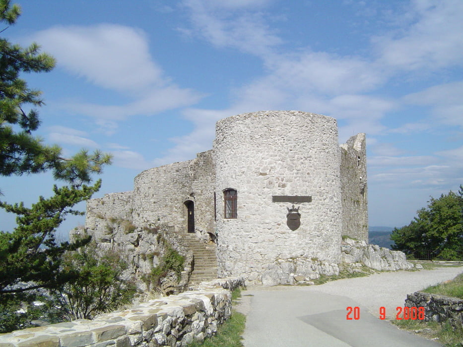
Pot se začne v Kozini in nas pelje delno po asfaltu in delno po makedamu do gradu Socerb,ki je odlična razgledna točka za obalno regijo. 
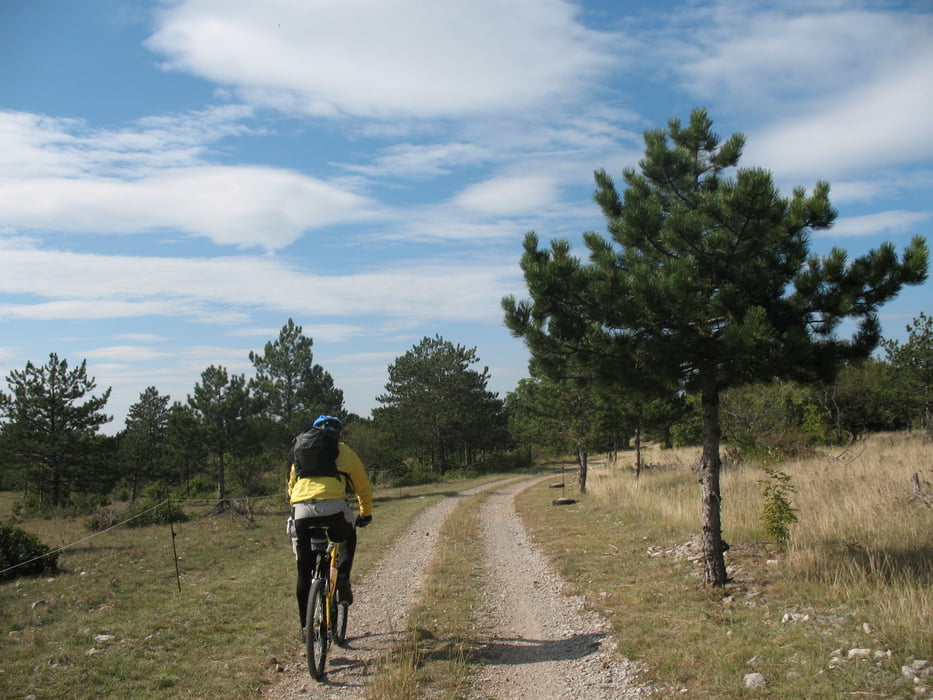
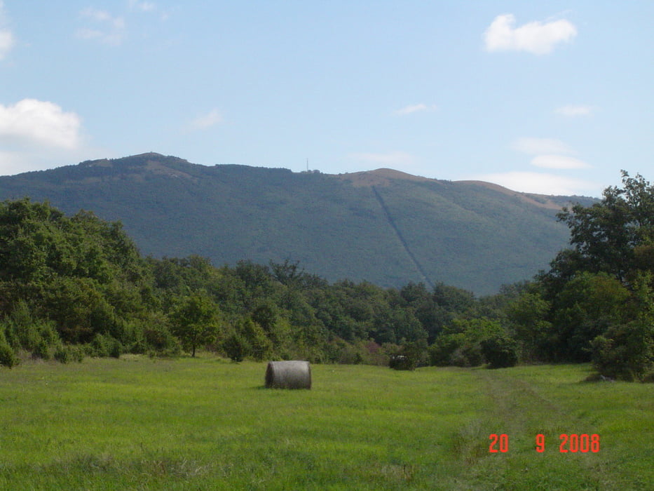
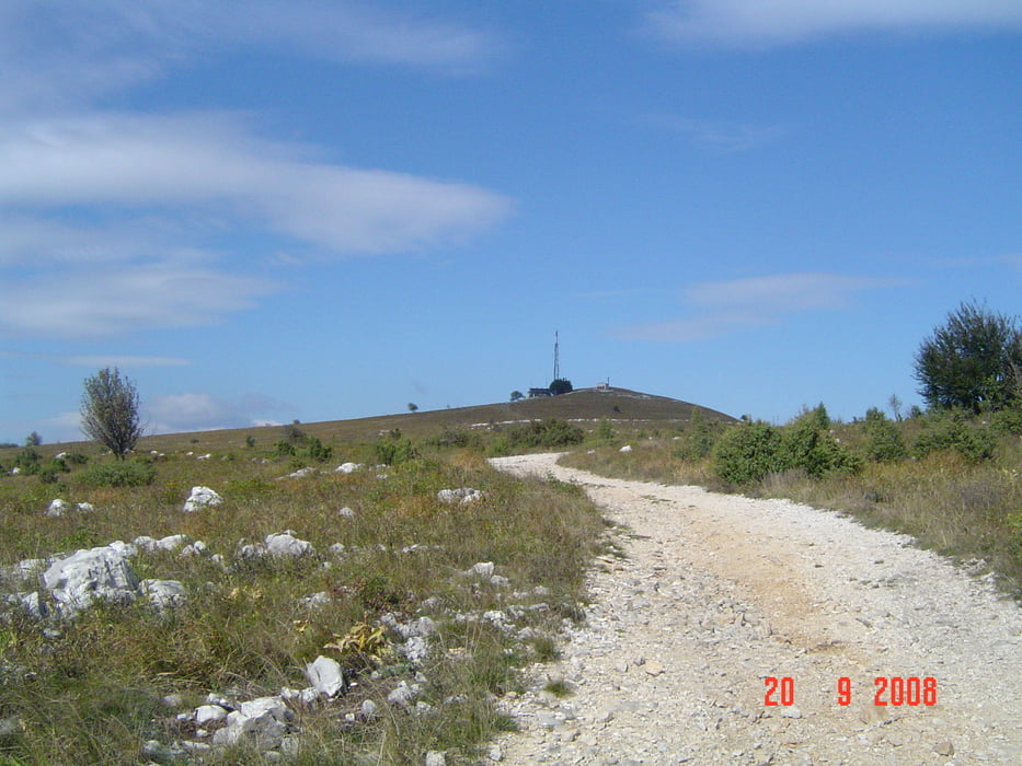
Nato pa jo počasi mahnemo po asfaltni cesti proti Praporčam in čez travnike do Podgorja,tu pa se počasi začne dvig na Slavnik 1028mnv,kjer si v koči privoščimo čaj ali pa kar pivo. Spust je v celoti po makedamski cesti.

Tour gallery

Tour map and elevation profile

  • Open Street Map
  • Google
Minimum height 316 m Maximum height 1025 m Detailed view

More about the tour author

caperos
Member since 2008

Send private message

Comments

WDTREK on 15.03.2022

Slavnik

Hvala za tako lep trail, resnično sem užival :-)

GPS tracks

Trackpoints
  • GPX / Garmin Map Source (gpx) download
  • TCX / Garmin Training Center® (tcx) download
  • CRS / Garmin Training Center® (crs) download
  • Google Earth (kml) download
  • G7ToWin (g7t) download
  • TTQV (trk) download
  • Overlay (ovl) download
  • Fugawi (txt) download
  • Kompass (DAV) Track (tk) download
  • Track data sheet (pdf) download
  • Original file of the author (gpx) download

More about the tour author

caperos
Member since 2008

Send private message
Share track
Add to my favorites
Remove from my favorites
Edit tags
My score
Rate
Track: Slavnik
Type: Mountain bike
Distance: 42,4 km
Evaluated on:
Duration:
Day(s)
Hour(s)
Minute(s)
Score: Landscape Fun factor Fitness Technique