Login

Forgot your login?

Cookies have to be accepted!
Your browser's cookie functionality is disabled. Please enable this functionality.

Not a member yet?

Register now
Login

Available for registred users only

Log in to use this feature.

Forgot your login?

Cookies have to be accepted!
Your browser's cookie functionality is disabled. Please enable this functionality.

Not a member yet?

Register now
Filter
Categories
Advanced filters
  • Distance (km)
  • Height
Save filters Reset filter

TrackRank

QRCode

Technical data

Distance32,1 km Height1029 m Way down1026 m Duration03:00 h:m Date24.10.2008
Scores Author Landscape Fun factor Fitness Technique

Statistics

791 Views 2 Scores 66 Downloads 3.00 Average
Rate
  • Track data sheet
  • Directions
  • Downloads
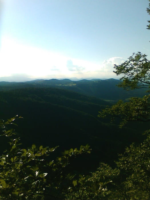
Borovnica je izhodišče ture,kjer se začnemo dvigati na Mali Trebevnik in še nekaj vrhov je zraven,kjer pridemo do vasi Pokojišče. Pot je v večini makedamska,je pa občasno prometna,zato brezskrbni spusti niso priporočljivi(zgoraj niso navajeni na kolesarje). Od Pokojišča se spuščamo in rahlo dvigujemo po tankovski cesti na Vrhniškem koncu in nato mahnemo mimo Močilnika(izvira Ljubljanice)nazaj do Borovnice po asfaltni cesti.
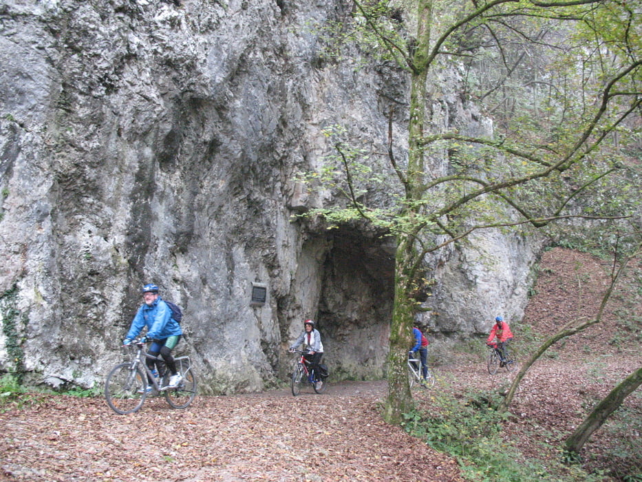
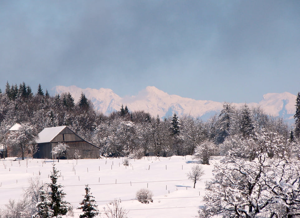
Tour gallery

Tour map and elevation profile

  • Open Street Map
  • Google
Minimum height 232 m Maximum height 776 m Detailed view

More about the tour author

caperos
Member since 2008

Send private message

Comments

anlegov on 13.04.2009

Track #25738: Menešija

Enjoyed this ride yesterday. Thanks for posting it.


GPS tracks

Trackpoints
  • GPX / Garmin Map Source (gpx) download
  • TCX / Garmin Training Center® (tcx) download
  • CRS / Garmin Training Center® (crs) download
  • Google Earth (kml) download
  • G7ToWin (g7t) download
  • TTQV (trk) download
  • Overlay (ovl) download
  • Fugawi (txt) download
  • Kompass (DAV) Track (tk) download
  • Track data sheet (pdf) download
  • Original file of the author (gpx) download

More about the tour author

caperos
Member since 2008

Send private message
Share track
Add to my favorites
Remove from my favorites
Edit tags
My score
Rate
Track: Menišija
Type: Mountain bike
Distance: 32,1 km
Evaluated on:
Duration:
Day(s)
Hour(s)
Minute(s)
Score: Landscape Fun factor Fitness Technique