

MTB Tour durch das Weinviertler Hügelland. Zu ca 70% wird auf Feld- und Forstwegen gefahren.
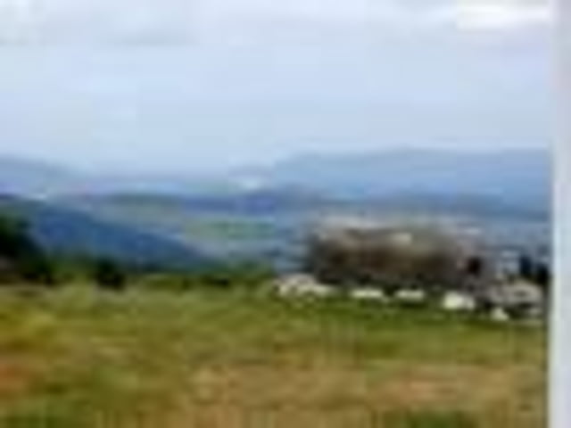
Reizvolle Strecke wegen des abwechslungsreichen Untergrundes. Bei einigen Walddurchfahren kann schon der eine oder andere falsche Weg eingeschlagen werden. Da aber vorwiegend auf einem Weitwanderweg gebiket wird braucht mann nur der Markierung (r-w-r) folgen.
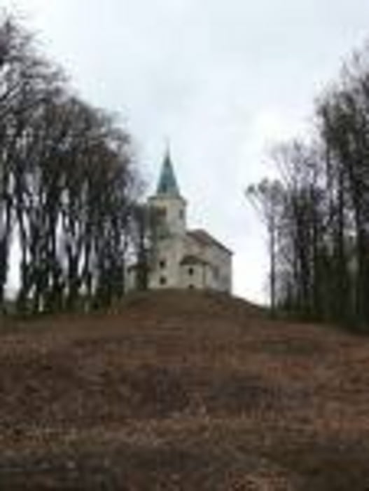
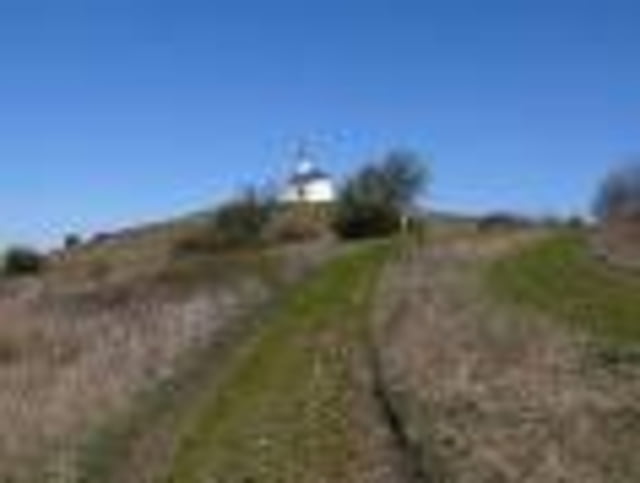
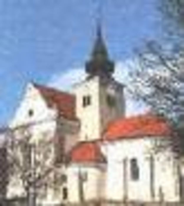
Ernstbrunn, Kirche - Richtung Süden - Zeiselberg - Grillenberg - vorbei an Wetzleinsdorf - Galgenberg - Kirchberg ober Karnabrunn - Rohrbacher Wald - Rohrbach - Goldenes Bründl - Michelberg. Die Retourstrecke nach Ernstbrunn führt paralell nahe der Herstrecke.
Tour gallery
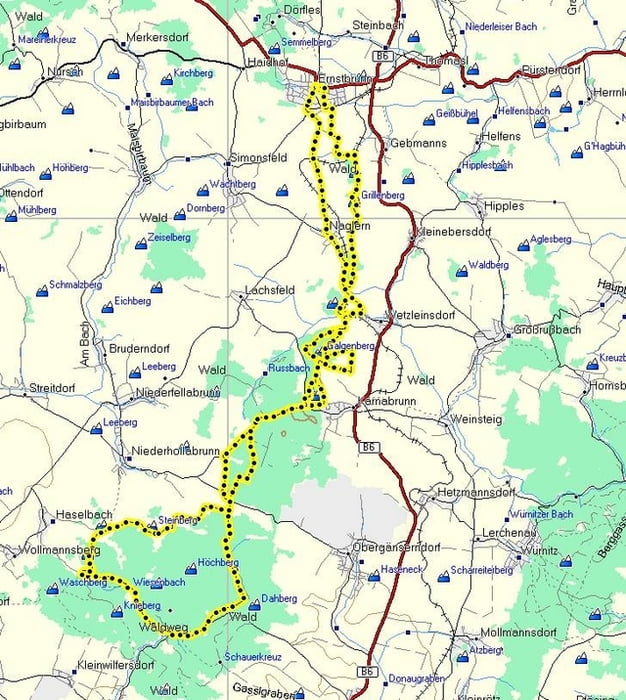
Tour map and elevation profile
Minimum height 121 m
Maximum height 411 m
More about the tour author
|
|
LeiseRadler |
Comments

GPS tracks
Trackpoints-
GPX / Garmin Map Source (gpx) download
-
TCX / Garmin Training Center® (tcx) download
-
CRS / Garmin Training Center® (crs) download
-
Google Earth (kml) download
-
G7ToWin (g7t) download
-
TTQV (trk) download
-
Overlay (ovl) download
-
Fugawi (txt) download
-
Kompass (DAV) Track (tk) download
-
Track data sheet (pdf) download
-
Original file of the author (gpx) download
More about the tour author
|
|
LeiseRadler |
Add to my favorites
Remove from my favorites
Edit tags
Open track
My score
Rate