


Kleiner Feierabendsprint mit optimalem Charakter. Dauer 01:00h
Für mich ist die Strecke gut, weil sie leicht anfängt, immer steiler wird, eine wenig Technik und ein wenig Speed beinhaltet.
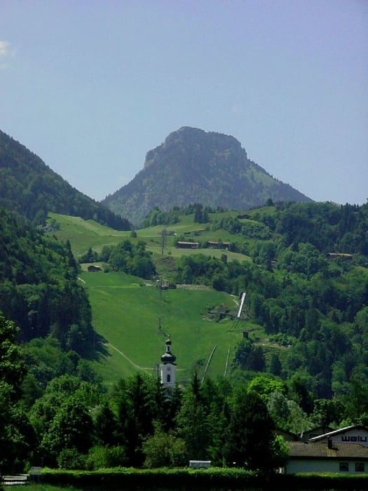
Von Oberaudorf am Luegsteinsee gemütlich auf Teerstrasse bergauf. Genauso gemütlich weiter. Erst bei der Abzweigung auf den kurzen Singletrail (und danach durch den Hof) wirds steil auf einen Forstweg. Da aber ziemlich steil.
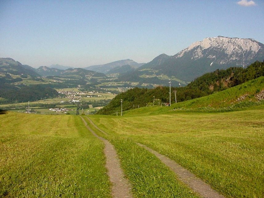
Ganz oben gibts einen Singletrail, der, wenn man noch ein wenig Energie übrig hat, schnell und spassig zu fahren ist. Über die Wiese und schnell auf Rennfähiger Teerstrasse wieder nach unten.
Einkehr: Ochsenwirt nähe Talstation/ Parkplatz
Further information at
http://www.martin-blum.de/bikeTour gallery
Tour map and elevation profile
Minimum height 433 m
Maximum height 712 m
More about the tour author
|
|
martin.blum |
Comments

Inntalautobahn von Rosenheim nach Kufstein. Nehmt die Ausfahrt Oberaudorf. Nach Oberaudorf und in Oberaudorf den Wegweisern zur Hocheck Seilbahn folgen.
Dort jede Menge freie Parkplätze
GPS tracks
Trackpoints-
GPX / Garmin Map Source (gpx) download
-
TCX / Garmin Training Center® (tcx) download
-
CRS / Garmin Training Center® (crs) download
-
Google Earth (kml) download
-
G7ToWin (g7t) download
-
TTQV (trk) download
-
Overlay (ovl) download
-
Fugawi (txt) download
-
Kompass (DAV) Track (tk) download
-
Track data sheet (pdf) download
-
Original file of the author (gpx) download
More about the tour author
|
|
martin.blum |
Add to my favorites
Remove from my favorites
Edit tags
Open track
My score
Rate