
)")

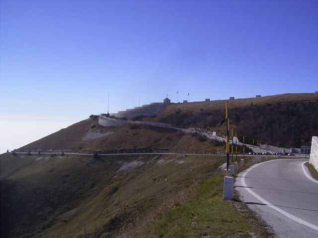
Tour on old donkey way from Bassano del Grappa - Crespano - Modonna del Cavallo to the Mt. Grappa monument (1st world war).
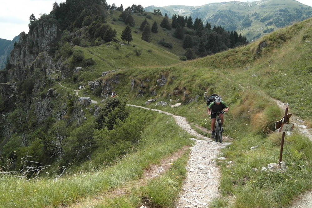
The way down is going along a trail along the mountain top with some small walking passages, than on a spectacular trail cut into the mountain with spectacular view!. The way down to San Liberale is the sentiero 153 (S1-S2 level), a good biker can drive nearly everything, but be carefull in driving, the way is most of the time small and cut into the mountain.
If you find the sentiero 153 to difficult, in about 3km is a easy way down to San Liberale S0
August 2012 - track erneurert - Auffahrt nun komplett fahrbar
Tour gallery
Tour map and elevation profile
Minimum height 287 m
Maximum height 1734 m
More about the tour author
|
|
skyhopper |
Comments
Trento on SS47 until exit Bssano, left to Romano Ezellino and Crespano. In Crespano on the traffic light left to Madonno di Cavallo church.
GPS tracks
Trackpoints-
GPX / Garmin Map Source (gpx) download
-
TCX / Garmin Training Center® (tcx) download
-
CRS / Garmin Training Center® (crs) download
-
Google Earth (kml) download
-
G7ToWin (g7t) download
-
TTQV (trk) download
-
Overlay (ovl) download
-
Fugawi (txt) download
-
Kompass (DAV) Track (tk) download
-
Track data sheet (pdf) download
-
Original file of the author (gpx) download
More about the tour author
|
|
skyhopper |
Add to my favorites
Remove from my favorites
Edit tags
Open track
My score
Rate
Error on the description
I think that the sentiero in the track of this tour is the CAI 150. Next time that i going in the Monte Grappa, i'll do it.
http://172.16.1.2/FotoMountainBike/2006-12-23%20Grappa%20Cai153%20800x600/index.htm