Login

Forgot your login?

Cookies have to be accepted!
Your browser's cookie functionality is disabled. Please enable this functionality.

Not a member yet?

Register now
Login

Available for registred users only

Log in to use this feature.

Forgot your login?

Cookies have to be accepted!
Your browser's cookie functionality is disabled. Please enable this functionality.

Not a member yet?

Register now
Filter
Categories
Advanced filters
  • Distance (km)
  • Height
Save filters Reset filter

TrackRank

QRCode

Technical data

Distance41,4 km Height202 m Way down204 m Duration02:45 h:m Date26.10.2008
Scores Author User Landscape Fun factor Fitness Technique

Statistics

835 Views 1 Score 128 Downloads 2.00 Average
Rate
  • Track data sheet
  • Directions
  • Downloads

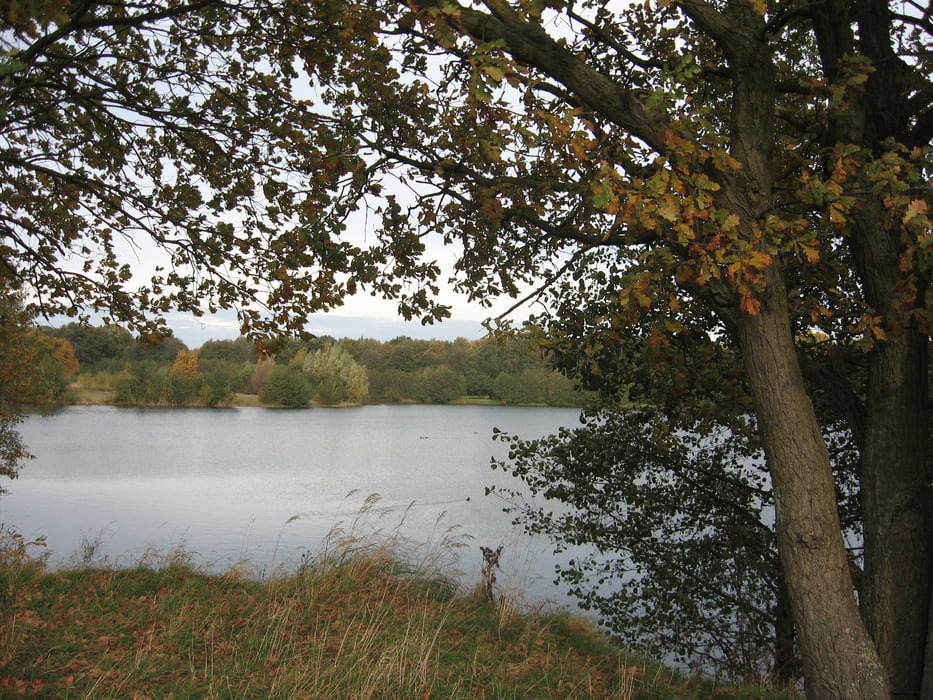
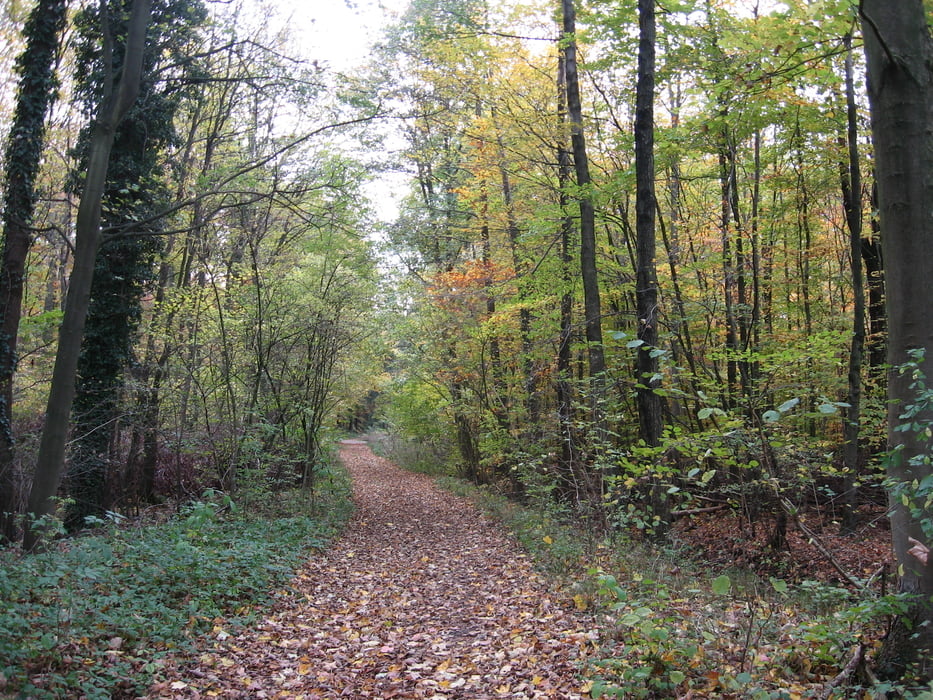
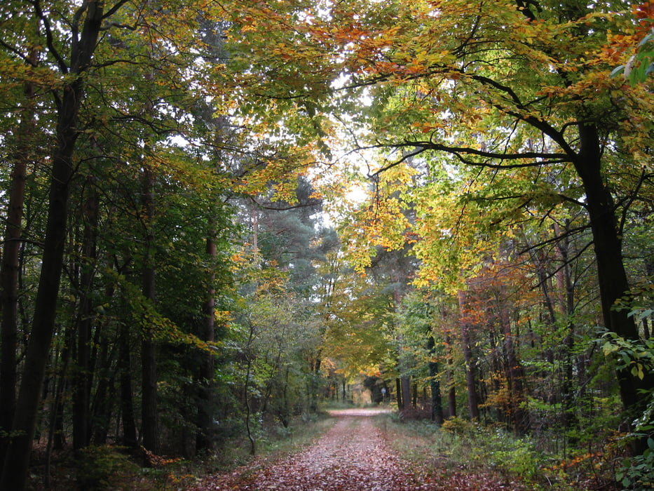
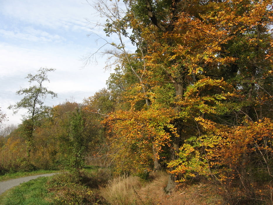
Flache Tour. Trockene Tage abwarten. An einer Stelle ca. 100 Meter schieben, weil die Pferde mit ihren Hufen den Torfpfad umgewühlt haben. Empfehlenswerte Richtung: links herum im Uhrzeigersinn zunächst durch den Stadtpark.  Autobahngeräusche als Sturmwind interpretieren. Künstliche Verlängerung durch Zick-Zack-Wege lassen sich abkürzen. In Bahnhofsnähe Gaststätten, Imbiss und Hallenfreibad. Akzeptabele Entferung zur Autowaschanlage, um das MTB zu säubern.

Tour gallery

Tour map and elevation profile

  • Open Street Map
  • Google
Minimum height 41 m Maximum height 82 m Detailed view

More about the tour author

bernsteinabglanz
Member since 2008

Send private message

Comments

herrpurzel on 25.04.2011

Fazit

Haben die Tour im Altwarmbüchener Moor begonnen und sind dann im Uhrzeigersinn die Strecke abgefahren. Viele Feldwege, kaum Trails. Kleines Highlight am Ringwall (kleiner Spot). Im großen und ganzen lässt sich die Tour entspannt fahren.
Burgdorf, S-Bahnhof. Kostenlose Parkplätze im Parkhaus. Radmitnahme im Zug zeitweise kostenfrei.

GPS tracks

Trackpoints
  • GPX / Garmin Map Source (gpx) download
  • TCX / Garmin Training Center® (tcx) download
  • CRS / Garmin Training Center® (crs) download
  • Google Earth (kml) download
  • G7ToWin (g7t) download
  • TTQV (trk) download
  • Overlay (ovl) download
  • Fugawi (txt) download
  • Kompass (DAV) Track (tk) download
  • Track data sheet (pdf) download
  • Original file of the author (gpx) download

More about the tour author

bernsteinabglanz
Member since 2008

Send private message
Share track
Add to my favorites
Remove from my favorites
Edit tags
My score
Rate
Track: Altwarmbüchener Moor
Type: Mountain bike
Distance: 41,4 km
Evaluated on:
Duration:
Day(s)
Hour(s)
Minute(s)
Score: Landscape Fun factor Fitness Technique