

Schöne "Bergwanderung" mit Ausgangspunkt Vourvourou.
Die ersten und die letzten Km sind leider auf der Strasse zu bewältigen.
Aber auf der Sithonia hat es ja nicht viel Verkehr.
Die Tour ist auch für einen wärmeren Tag geeignet, weil sie teilweise im Wald verläuft.
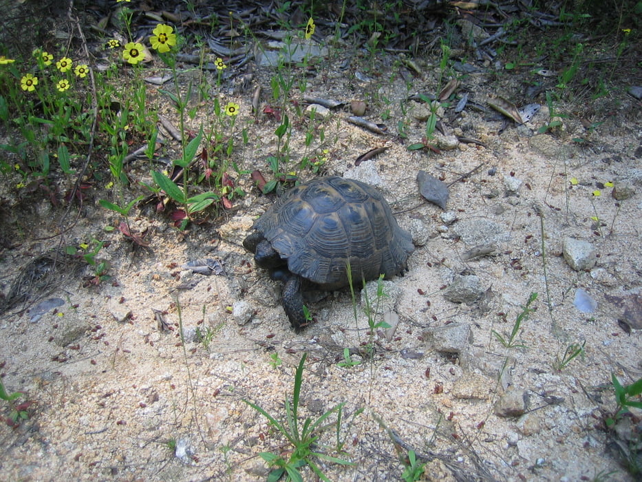
Mit etwas Glück kann man Griechische Landschildkröten sehen.
Die reine Gehzeit beträgt ca. 1,5h.
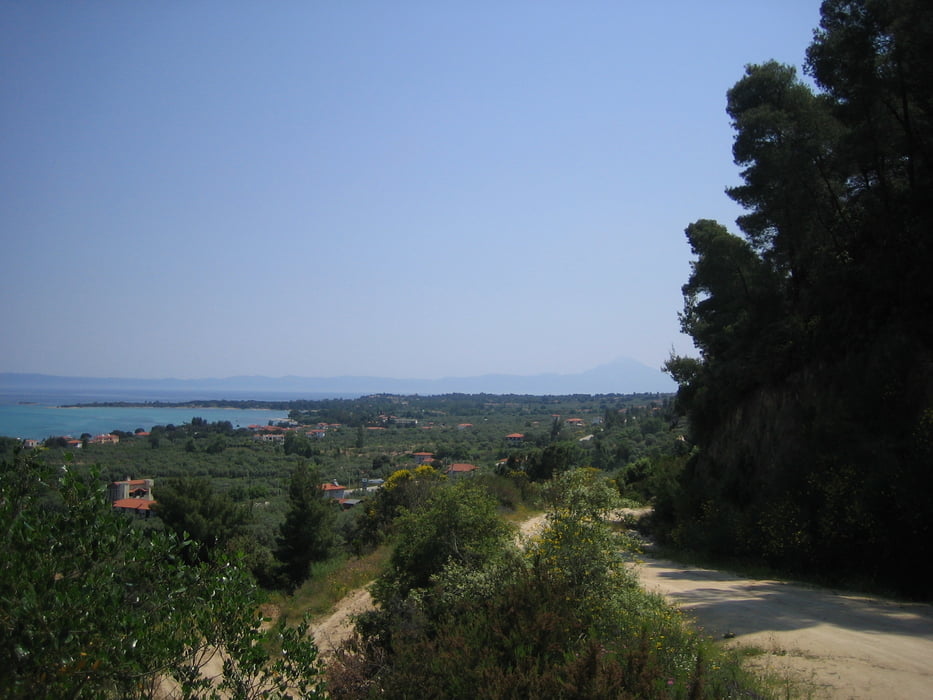
Auf der Höhe hat man eine sehr schöne Aussicht bis zum Berg Athos.
Tour gallery


Tour map and elevation profile
Minimum height -7 m
Maximum height 135 m
More about the tour author
|
|
Tom19 |
Comments

Ausgangspunkt ist Vourvourou, das liegt auf der Ostseite der Sithonia.
GPS tracks
Trackpoints-
GPX / Garmin Map Source (gpx) download
-
TCX / Garmin Training Center® (tcx) download
-
CRS / Garmin Training Center® (crs) download
-
Google Earth (kml) download
-
G7ToWin (g7t) download
-
TTQV (trk) download
-
Overlay (ovl) download
-
Fugawi (txt) download
-
Kompass (DAV) Track (tk) download
-
Track data sheet (pdf) download
-
Original file of the author (gpx) download
More about the tour author
|
|
Tom19 |
Add to my favorites
Remove from my favorites
Edit tags
Open track
My score
Rate