


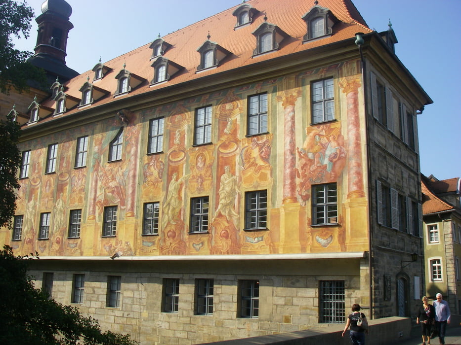
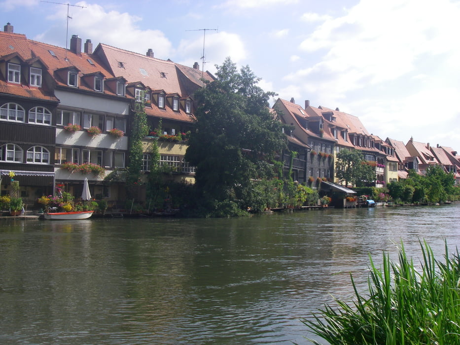
Von Nürnberg nach Bamberg, an Pegnitz, Regnitz und Main-Donau-Kanal entlang. Von Bamberg nach Bayreuth am Maintalradweg. Überwiegend auf Radwegen abseits der Straßen. Die Radwege sind teilweise asphaltiert, sonst gut befestigt. Nach Bamberg viele Badeseen. Flache Streckenführung Nürnberg- Bamberg- Kulmbach, von Kulmbach nach Bayreuth hügelig.
Tour gallery
Tour map and elevation profile
Minimum height 211 m
Maximum height 350 m
More about the tour author
|
|
radrige |
Comments

Zwischen Bayreuth und Nürnberg sehr gute Zugverbindung (Pendolino). Variante von Bayreuth bis Neuhaus mit den Zug und dann den sehr schönen Pegnitztalradweg bis Nürnberg mit den Rad.
GPS tracks
Trackpoints-
GPX / Garmin Map Source (gpx) download
-
TCX / Garmin Training Center® (tcx) download
-
CRS / Garmin Training Center® (crs) download
-
Google Earth (kml) download
-
G7ToWin (g7t) download
-
TTQV (trk) download
-
Overlay (ovl) download
-
Fugawi (txt) download
-
Kompass (DAV) Track (tk) download
-
Track data sheet (pdf) download
-
Original file of the author (gpx) download
More about the tour author
|
|
radrige |
Add to my favorites
Remove from my favorites
Edit tags
Open track
My score
Rate