


Start bei Schwarzwaldklinik Rippoldsau hoch zum Kastelstein, dann Richtung Kniebis, am höchsten Punkt rechts in den Grenzweg einbiegen (Grenze zwischen Baden und Würtemberg) Singel-Trail mit Wurzeln, Sand, Schlamm, Moor, Steine, Gras bis oberer Zwieselberg, kurz Straße Richtung Rippoldsau, dann links rotem Wanderweg folgen, schnell bergab bis zur Kurklinik 200 m weiter Feierabendbier mit Schwarzwälder Schinken Genießen (Wirtshaus Alte Tränke)
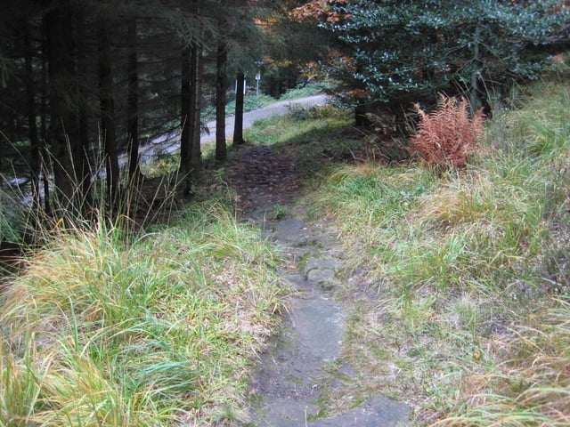
Tour gallery
Tour map and elevation profile
Minimum height 533 m
Maximum height 900 m
More about the tour author

|
MikeausdemSueden |
Comments

GPS tracks
Trackpoints-
GPX / Garmin Map Source (gpx) download
-
TCX / Garmin Training Center® (tcx) download
-
CRS / Garmin Training Center® (crs) download
-
Google Earth (kml) download
-
G7ToWin (g7t) download
-
TTQV (trk) download
-
Overlay (ovl) download
-
Fugawi (txt) download
-
Kompass (DAV) Track (tk) download
-
Track data sheet (pdf) download
-
Original file of the author (gpx) download
More about the tour author
|
|
MikeausdemSueden |
Add to my favorites
Remove from my favorites
Edit tags
Open track
My score
Rate