Login

Forgot your login?

Cookies have to be accepted!
Your browser's cookie functionality is disabled. Please enable this functionality.

Not a member yet?

Register now
Login

Available for registred users only

Log in to use this feature.

Forgot your login?

Cookies have to be accepted!
Your browser's cookie functionality is disabled. Please enable this functionality.

Not a member yet?

Register now
Filter
Categories
Advanced filters
  • Distance (km)
  • Height
Save filters Reset filter

TrackRank

QRCode

Technical data

Distance49,9 km Height1390 m Way down2105 m Duration08:00 h:m Date31.10.2008
Scores Author Landscape Fun factor Fitness Technique

Statistics

2065 Views Scores 400 Downloads Average
Rate
  • Track data sheet
  • Directions
  • Downloads
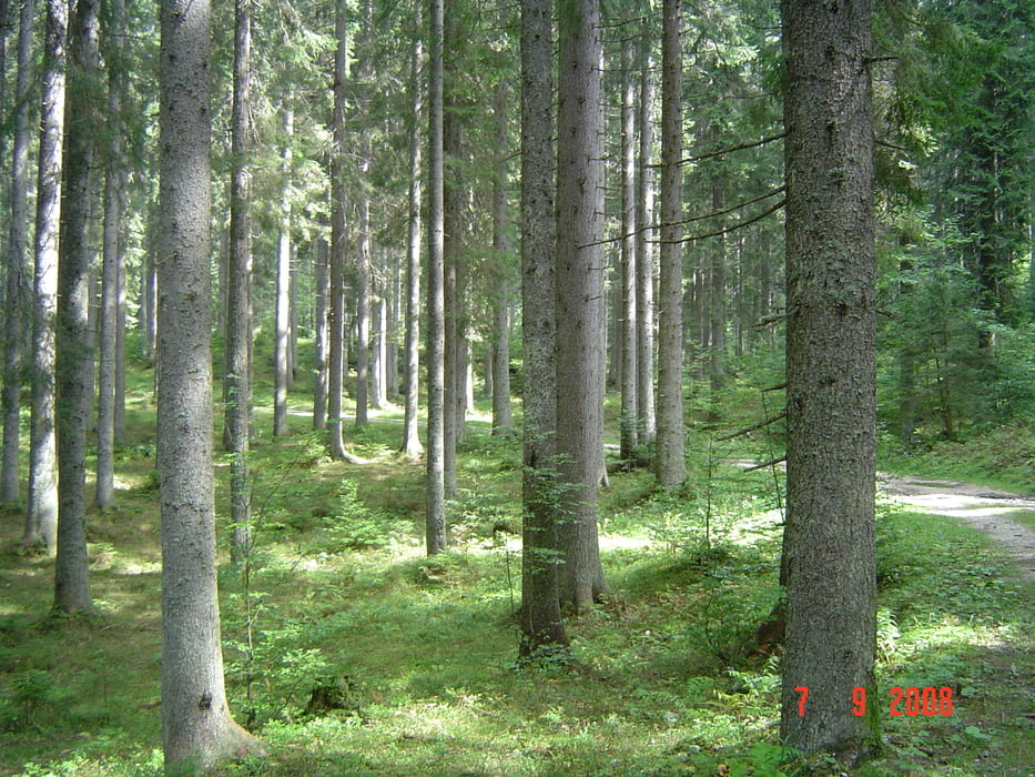
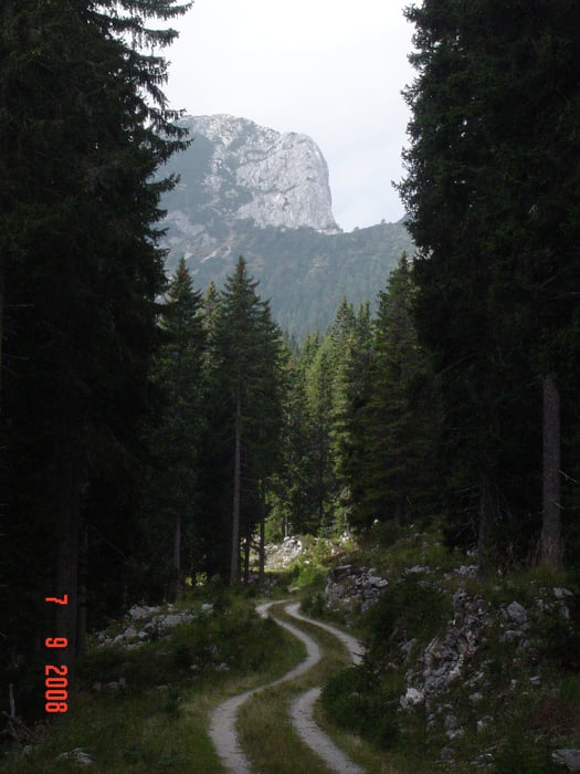
Prvožen je bil vzhodni del Pokljuke,pot je v celoti makedamski in ne preveč zahteven.Priporočam podroben ogled tracka,ker sem naletel na zarisane poti,ki pa jih ni več,oziroma so močno zaraščene. 
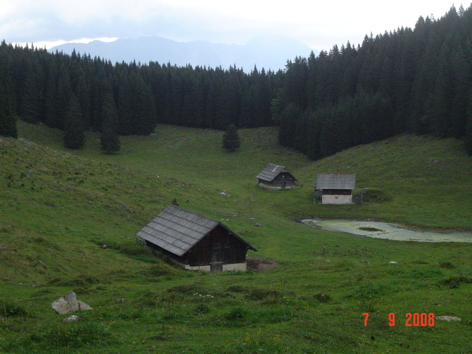
Najtežji del je vzpon na Bljesko kočo,kjer si privoščim obaro in nato sledi spust do Bleda.

Tour gallery

Tour map and elevation profile

  • Open Street Map
  • Google
Minimum height 511 m Maximum height 1641 m Detailed view

More about the tour author

caperos
Member since 2008

Send private message

Comments

GPS tracks

Trackpoints
  • GPX / Garmin Map Source (gpx) download
  • TCX / Garmin Training Center® (tcx) download
  • CRS / Garmin Training Center® (crs) download
  • Google Earth (kml) download
  • G7ToWin (g7t) download
  • TTQV (trk) download
  • Overlay (ovl) download
  • Fugawi (txt) download
  • Kompass (DAV) Track (tk) download
  • Track data sheet (pdf) download
  • Original file of the author (gpx) download

More about the tour author

caperos
Member since 2008

Send private message
Share track
Add to my favorites
Remove from my favorites
Edit tags
My score
Rate
Track: Pokljuka
Type: Mountain bike
Distance: 49,9 km
Evaluated on:
Duration:
Day(s)
Hour(s)
Minute(s)
Score: Landscape Fun factor Fitness Technique