Login

Forgotten password?

Cookies have to be accepted!
Your browser's cookie functionality is disabled. Please enable this functionality.

Not a member yet?

Register now
Login

Available for registred users only

Log in to use this feature.

Forgotten password?

Cookies have to be accepted!
Your browser's cookie functionality is disabled. Please enable this functionality.

Not a member yet?

Register now
Filter
Categories
Advanced filters
  • Distance (km)
  • Height
Save filters Reset filter

TrackRank

QRCode

Technical data

Distance71,5 km Height531 m Way down99 m Duration02:45 h:m Date01.11.2008
Scores Author Landscape Fun factor Fitness Technique

Statistics

846 Views Scores 106 Downloads Average
Rate
  • Track data sheet
  • Directions
  • Downloads

Start und Ende am Sylvensteinspeicher  ( Staumauer )

Tour  verläuft auf  der asphaltierten  Strasse in die Eng

Wunderbare Spritztour an einem warmen Herbsttag.


Leider sind mir auf dem Rückweg, die Batterein leer geworden, darum

stimmt das Höhenprofil nicht .
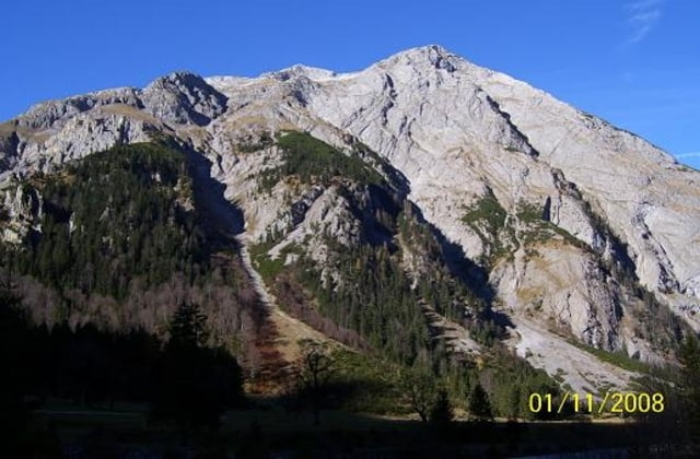
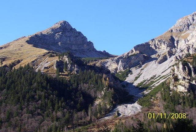
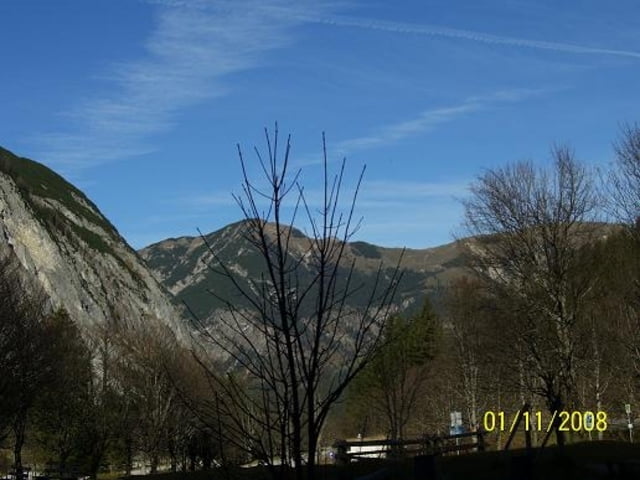
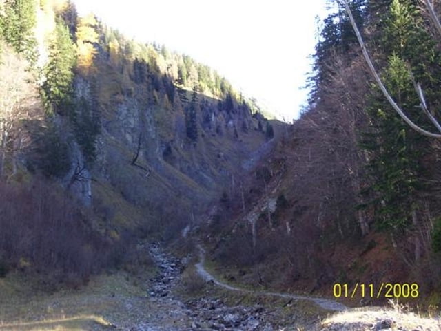
Tour gallery

Tour map and elevation profile

  • Open Street Map
  • Google
Minimum height 767 m Maximum height 1229 m Detailed view

More about the tour author

bmwmai
Member since 2008

Send private message

Comments

GPS tracks

Trackpoints
  • GPX / Garmin Map Source (gpx) download
  • TCX / Garmin Training Center® (tcx) download
  • CRS / Garmin Training Center® (crs) download
  • Google Earth (kml) download
  • G7ToWin (g7t) download
  • TTQV (trk) download
  • Overlay (ovl) download
  • Fugawi (txt) download
  • Kompass (DAV) Track (tk) download
  • Track data sheet (pdf) download
  • Original file of the author (gpx) download

More about the tour author

bmwmai
Member since 2008

Send private message
Share track
Add to my favorites
Remove from my favorites
Edit tags
My score
Rate
Track: Vom Sylensteinspeicher zur Eng
Type: Road biking
Distance: 71,5 km
Evaluated on:
Duration:
Day(s)
Hour(s)
Minute(s)
Score: Landscape Fun factor Fitness Technique