Login

Forgot your login?

Cookies have to be accepted!
Your browser's cookie functionality is disabled. Please enable this functionality.

Not a member yet?

Register now
Login

Available for registred users only

Log in to use this feature.

Forgot your login?

Cookies have to be accepted!
Your browser's cookie functionality is disabled. Please enable this functionality.

Not a member yet?

Register now
Filter
Categories
Advanced filters
  • Distance (km)
  • Height
Save filters Reset filter

TrackRank

QRCode

Technical data

Distance110,2 km Height784 m Way down769 m Duration03:00 h:m Date02.11.2008
Scores Author Landscape Fun factor Fitness Technique

Statistics

334 Views Scores 56 Downloads Average
Rate
  • Track data sheet
  • Directions
  • Downloads
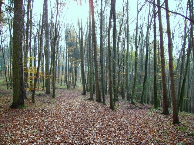
Von Steinberg zum Illerradweg bei Unterkirchberg. Bis Ulm weiter; dann Richtung Blaustein. Über Bahngleise Anstieg zum Eselsberg. Über kurzen Trial nach Mähringen. Nach ein par hundert Metern wieder auf Forstweg mit Abfahrt über herrliche Wege voller Laub bis nach Herrlingen. Über Blaustein nach Ulm und wieder an die Iller bis Oberkirchberg.

Tour gallery

Tour map and elevation profile

  • Open Street Map
  • Google
Minimum height 461 m Maximum height 600 m Detailed view

More about the tour author

painfully58
Member since 2008

Send private message

Comments

Biker101 on 22.06.2009

Wäre echt cool wenn deine KM-Angaben stimmen würden, bzw. die Strecke nicht immer 2mal im Höhenprofil zu sehen wäre...
Ist leider bei all deinen touren so, vieleicht kannst du da was ändern.
Gruß

GPS tracks

Trackpoints
  • GPX / Garmin Map Source (gpx) download
  • TCX / Garmin Training Center® (tcx) download
  • CRS / Garmin Training Center® (crs) download
  • Google Earth (kml) download
  • G7ToWin (g7t) download
  • TTQV (trk) download
  • Overlay (ovl) download
  • Fugawi (txt) download
  • Kompass (DAV) Track (tk) download
  • Track data sheet (pdf) download
  • Original file of the author (gpx) download

More about the tour author

painfully58
Member since 2008

Send private message
Share track
Add to my favorites
Remove from my favorites
Edit tags
My score
Rate
Track: Vom Illertal zum Blautal
Type: Mountain bike
Distance: 110,2 km
Evaluated on:
Duration:
Day(s)
Hour(s)
Minute(s)
Score: Landscape Fun factor Fitness Technique