


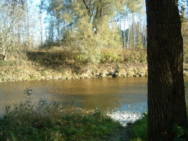
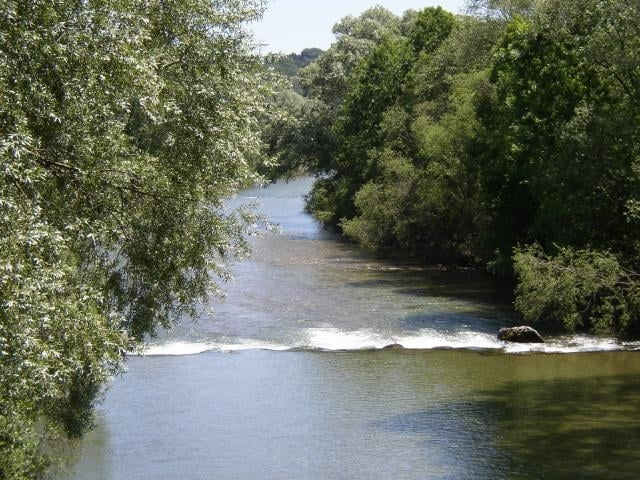
von München durch die Stadt bis nach Perlach, dann über Ottobrunn, Höhenkirchen (wenig schön, Radwege meistens an der Strasse) nach Aying, Westerham, hier dann zur Mangfall, Brückmühl, Kolbermoor, Rosenheim.
Teils Schotter, teils asphaltiert, nicht mit dem Rennrad zu empfehlen.
Ab Höhenkirchen fast komplett auf Nebenstrassen und so gut wie keine Autos
Further information at
http://www.muenchen.de/verticals/Mobilitaet/Fahrrad/Fahrradnetz/4_Radtouren/137357/index.htmlTour gallery


Tour map and elevation profile
Minimum height 453 m
Maximum height 662 m
More about the tour author
|
|
ckindler |
Comments

München, Start meiner Tour in Obergiesing, Fockensteinstrasse Ecke Bayrischzellerstrasse
GPS tracks
Trackpoints-
GPX / Garmin Map Source (gpx) download
-
TCX / Garmin Training Center® (tcx) download
-
CRS / Garmin Training Center® (crs) download
-
Google Earth (kml) download
-
G7ToWin (g7t) download
-
TTQV (trk) download
-
Overlay (ovl) download
-
Fugawi (txt) download
-
Kompass (DAV) Track (tk) download
-
Track data sheet (pdf) download
-
Original file of the author (gpx) download
More about the tour author
|
|
ckindler |
Add to my favorites
Remove from my favorites
Edit tags
Open track
My score
Rate