


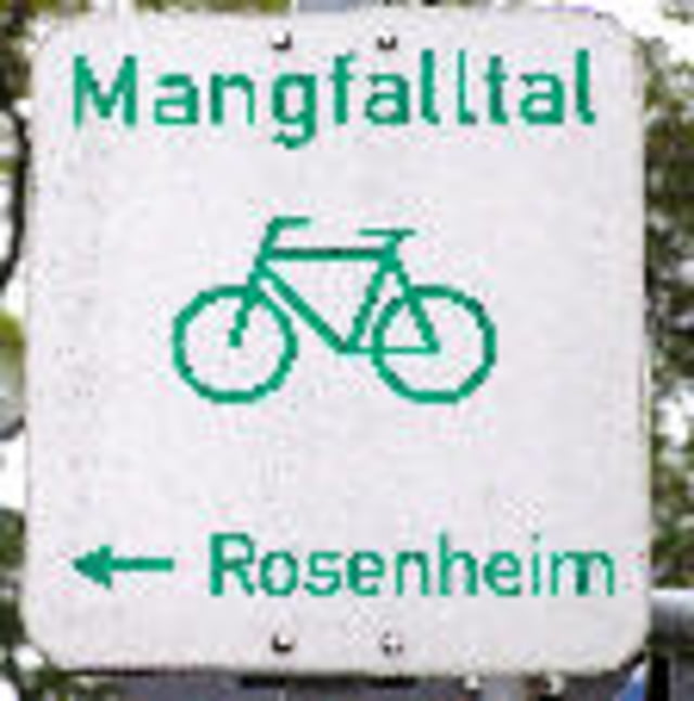
Von Rosenheim durch die Stadt zur Mangfall, über Kolbermoor, Bruckmühl Westerham Oberreit Aying nach Höhenkirchen, dann an der Straße nach Ottobrunn, dann wieder kleinere Strassen nach Perlach und Richtung Giesing oder wo man hin muss.
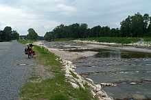
Teils Schotter, teils asphaltiert, meist unbefahrene Strassen oder Radwege neben Strassen. Ab Höhenkirchen ist die Ausschilderung (Mangfallradweg) sehr spärlich.
Further information at
http://www.muenchen.de/verticals/Mobilitaet/Fahrrad/Fahrradnetz/4_Radtouren/137357/index.htmlTour gallery
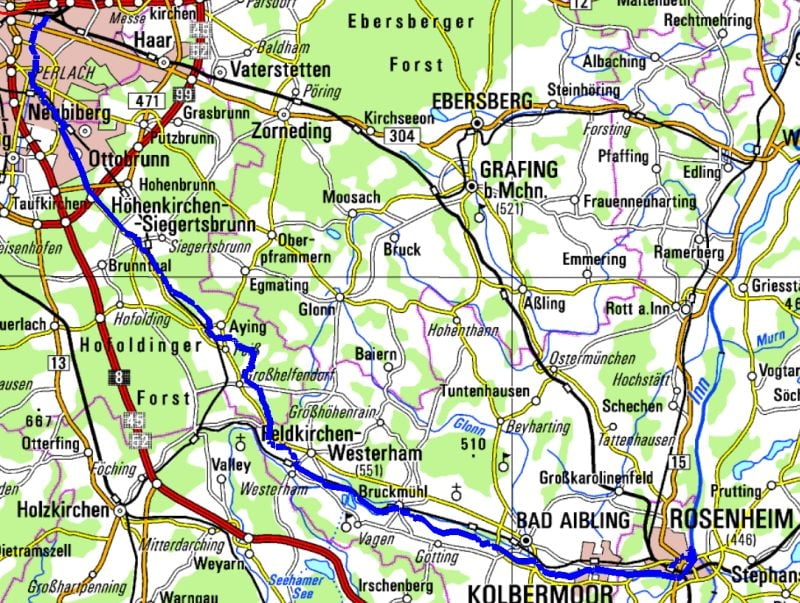
Tour map and elevation profile
Minimum height 453 m
Maximum height 662 m
More about the tour author
|
|
ckindler |
Comments

Rosenheim Klinikum ist Start, Ellmaierstr./Pettenkoferstr.
Viel Spass
und
Gute Fahrt
GPS tracks
Trackpoints-
GPX / Garmin Map Source (gpx) download
-
TCX / Garmin Training Center® (tcx) download
-
CRS / Garmin Training Center® (crs) download
-
Google Earth (kml) download
-
G7ToWin (g7t) download
-
TTQV (trk) download
-
Overlay (ovl) download
-
Fugawi (txt) download
-
Kompass (DAV) Track (tk) download
-
Track data sheet (pdf) download
-
Original file of the author (gpx) download
More about the tour author
|
|
ckindler |
Add to my favorites
Remove from my favorites
Edit tags
Open track
My score
Rate