

In der nähe des Startpunkts befindet sich der Gasthof Eckhardt dort findet ihr genug Park möglichkeiten.
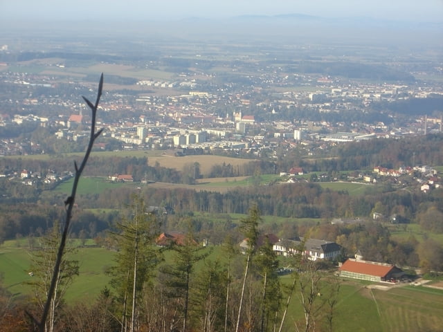
Los gehts über eine Schotterstrasse auf den Damberg bis zur Dambergwarte. Auf dem Weg zur und von der Warte habt ihr Teilweise eine sehr schöne Aussicht auf Steyr und das Alpenvorland.
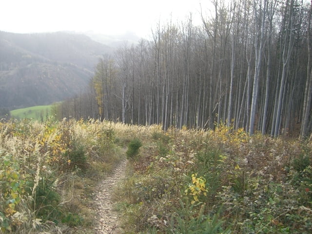
Weiter gehts über eine Schotterstrasse und einen Wanderweg richtung Schwarzberg. Auf den Gipfel geht es über einen schmalen Trail. Oben angekommen könnt ihr euch ins Gipfelbuch eintragen.
Runter geht es über einen Wanderweg,Trail bis nach Dambach, und von dort weiter bis zum Startpunkt der Strecke.
ca. 60% Schotter, ca. 35% Trails,Wanderwege, ca. 5% Asphalt.
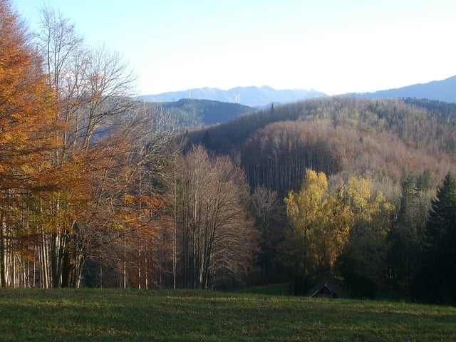
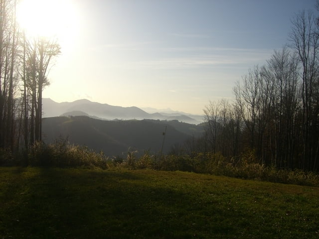
Sehr schöne Bergab passagen!!
Tour gallery

Tour map and elevation profile
Minimum height 319 m
Maximum height 845 m
More about the tour author

|
Zorbach |
Comments
GPS tracks
Trackpoints-
GPX / Garmin Map Source (gpx) download
-
TCX / Garmin Training Center® (tcx) download
-
CRS / Garmin Training Center® (crs) download
-
Google Earth (kml) download
-
G7ToWin (g7t) download
-
TTQV (trk) download
-
Overlay (ovl) download
-
Fugawi (txt) download
-
Kompass (DAV) Track (tk) download
-
Track data sheet (pdf) download
-
Original file of the author (gpx) download
More about the tour author
|
|
Zorbach |
Add to my favorites
Remove from my favorites
Edit tags
Open track
My score
Rate
Downhill unfahrbar