


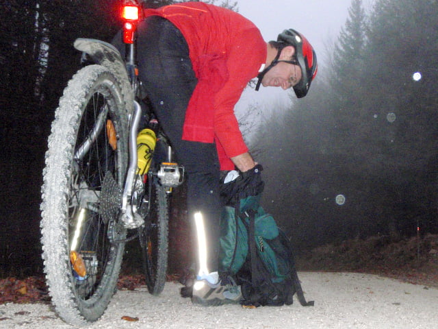
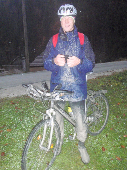
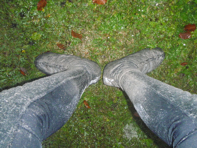
Ausgangspunkt Globasnitz - Luschasattel - Eisenkappel - Paulitschsattel - zurück zum Luschasattel südlich der Landesgrenze (SLO) - Globasnitz. Bei schönen Wetter soll es da ein unglaubliches Panorama geben. Wir sahen lediglich eine am Boden aufliegende Schichtwolke mit feinstem Nieselregen. Wir freuen uns schon aufs Nächstemal :-).
Beachte beim Streckenprofil: zwischen km 59 und 63 war es wohl der Höhenmesser des Garmins, der als erster schlapp machte ;-(
Tour gallery
Tour map and elevation profile
Minimum height 552 m
Maximum height 1330 m
More about the tour author

|
kurtsteiner |
Comments

A2 Südautobahn - Abfahrt Völkermarkt West - Eberndorf - Globasnitz
GPS tracks
Trackpoints-
GPX / Garmin Map Source (gpx) download
-
TCX / Garmin Training Center® (tcx) download
-
CRS / Garmin Training Center® (crs) download
-
Google Earth (kml) download
-
G7ToWin (g7t) download
-
TTQV (trk) download
-
Overlay (ovl) download
-
Fugawi (txt) download
-
Kompass (DAV) Track (tk) download
-
Track data sheet (pdf) download
-
Original file of the author (gpx) download
More about the tour author
|
|
kurtsteiner |
Add to my favorites
Remove from my favorites
Edit tags
Open track
My score
Rate