Login

Forgot your login?

Cookies have to be accepted!
Your browser's cookie functionality is disabled. Please enable this functionality.

Not a member yet?

Register now
Login

Available for registred users only

Log in to use this feature.

Forgot your login?

Cookies have to be accepted!
Your browser's cookie functionality is disabled. Please enable this functionality.

Not a member yet?

Register now
Filter
Categories
Advanced filters
  • Distance (km)
  • Height
Save filters Reset filter

TrackRank

QRCode

Technical data

Distance30,5 km Height348 m Way down450 m Duration02:00 h:m Date10.05.2020
Scores Author Landscape Fun factor Fitness Technique

Statistics

665 Views 1 Score 73 Downloads 3.00 Average
Rate
  • Track data sheet
  • Directions
  • Downloads

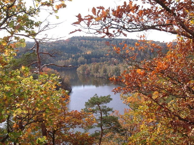
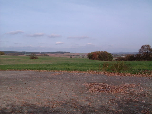
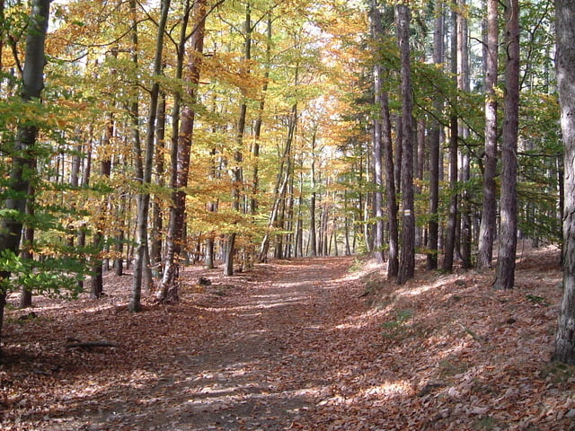
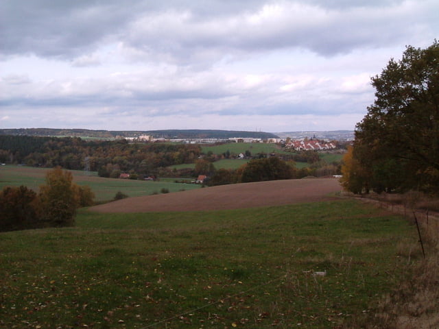
Auf dem Elsterdamm über Meilitz nach Wünschendorf auf  Asphalt, auf befestigten Wegen nach Weida, quer durch die Stadt zur Aumatalsperre und durch den Wald auf befestigten Wegen und wenig befahrenen Straßen über Burkersdorf, Nonnendorf, Seifersdorf, Zedlitz, Röppisch nach Gera zurück.

Tour gallery

Tour map and elevation profile

  • Open Street Map
  • Google
Minimum height 205 m Maximum height 348 m Detailed view

More about the tour author

Gera-Lusan
Member since 2008

Send private message

Comments

Radfotosonn on 23.09.2012

Tour entgegengesetzt

Bin Tour entgegengesetzt gefahren. Finde das so besser bzw. erholsamer. Guter Kurztripp
günstiger Start von Gera Lusan,  Lidl Parkplatz  Zeulsdorfer Straße

GPS tracks

Trackpoints
  • GPX / Garmin Map Source (gpx) download
  • TCX / Garmin Training Center® (tcx) download
  • CRS / Garmin Training Center® (crs) download
  • Google Earth (kml) download
  • G7ToWin (g7t) download
  • TTQV (trk) download
  • Overlay (ovl) download
  • Fugawi (txt) download
  • Kompass (DAV) Track (tk) download
  • Track data sheet (pdf) download
  • Original file of the author (gpx) download

More about the tour author

Gera-Lusan
Member since 2008

Send private message
Share track
Add to my favorites
Remove from my favorites
Edit tags
My score
Rate
Track: Gera-Weida-Aumatalsperre
Type: Mountain bike
Distance: 30,5 km
Evaluated on:
Duration:
Day(s)
Hour(s)
Minute(s)
Score: Landscape Fun factor Fitness Technique