Login

Forgot your login?

Cookies have to be accepted!
Your browser's cookie functionality is disabled. Please enable this functionality.

Not a member yet?

Register now
Login

Available for registred users only

Log in to use this feature.

Forgot your login?

Cookies have to be accepted!
Your browser's cookie functionality is disabled. Please enable this functionality.

Not a member yet?

Register now
Filter
Categories
Advanced filters
  • Distance (km)
  • Height
Save filters Reset filter

TrackRank

QRCode

Technical data

Distance372,1 km Height10744 m Way down11453 m Duration6 days 0 h Date09.11.2008
Scores Author Landscape Fun factor Fitness Technique

Statistics

5221 Views Scores 1267 Downloads Average
Rate
  • Track data sheet
  • Directions
  • Downloads
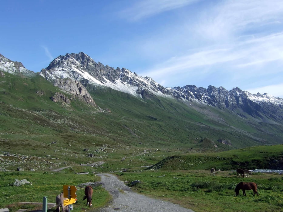
  1. Von Obersdorf über den Schrofenpass, Flexenpass, St. Christoph am Arlberg, St. Anton zur Konstanzer Hütte.
  2. Über die Heilbronner Hütte nach Ischgl und zur Heidelberger Hütte.
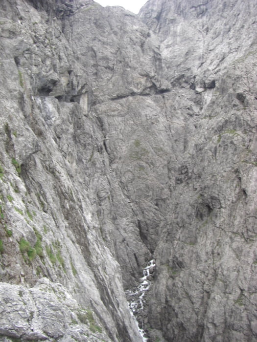
  3. Über den Fimbapass ins Engadin und über die Unia Schlucht zur Sesvenna Hütte.
  4. Ins Vinschgau und über die Narturnseralm ins Ulental.
  5. Über das Rabijoch nach Dimaro.
  6. Über Madonna di Campiglio - Bregn de´l Ors nach Riva.

Tour gallery

Tour map and elevation profile

  • Open Street Map
  • Google
Minimum height 89 m Maximum height 2610 m Detailed view

More about the tour author

stroher
Member since 2008

Send private message

Comments

GPS tracks

Trackpoints
  • GPX / Garmin Map Source (gpx) download
  • TCX / Garmin Training Center® (tcx) download
  • CRS / Garmin Training Center® (crs) download
  • Google Earth (kml) download
  • G7ToWin (g7t) download
  • TTQV (trk) download
  • Overlay (ovl) download
  • Fugawi (txt) download
  • Kompass (DAV) Track (tk) download
  • Track data sheet (pdf) download
  • Original file of the author (gpx) download

More about the tour author

stroher
Member since 2008

Send private message
Share track
Add to my favorites
Remove from my favorites
Edit tags
My score
Rate
Track: Alpencross 2009 Obersdorf-Riva
Type: Mountain bike
Distance: 372,1 km
Evaluated on:
Duration:
Day(s)
Hour(s)
Minute(s)
Score: Landscape Fun factor Fitness Technique