


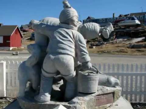
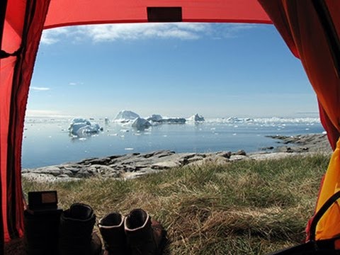
Im Juni 2008 sind wir von Oqaatsut zu einer zweiwöchigen Kajaktour abseits der Zivilisation aufgebrochen. Alles, was wir für die zwei Wochen benötigt haben, hat in den beiden Kajaks Platz gefunden.
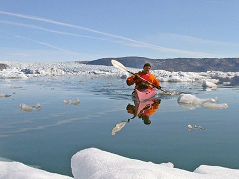
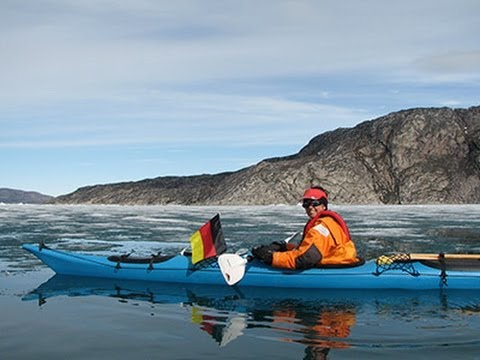
Wir sind durch den Ata Sund zum kalbenden Gletscher Eqip Sermic gepaddelt. Von dort sind wir zum Inlandeis gewandert. Auf der Rückfahrt nach Oqaatsut haben wir noch einen Abstecher in die Bucht Pakitsoq gemacht. Hier sind wir hautnah an Buckelwale herangepaddelt. Weiter ging die Tour in den Fjord Qingua kujataleq. Von hier war es nicht weit bis zum Inlandeis. Diesmal konnten wir sogar ein Stück weit auf das Eis hinaufgehen.
Nach zwei Wochen sind wir wieder gut in Oqaatsut angekommen. Unterwegs haben wir nur selten Boote getroffen. Es war eine spannende, aber zugleich erholsame Tour.
Ausführlicher Reisebericht unter:
http://www.ski-web24.de/Groenland2008/frame.htm
Viel Spaß
Bianka & Uwe
Further information at
http://biauwe.magix.net/Tour gallery
Tour map and elevation profile
Minimum height 99999 m
Maximum height -99999 m
More about the tour author
|
|
biauwe |
Comments

Von Düsseldorf nach Kopenhagen weiter nach Ilulissat mit dem Flugzeug.
Dann von Ilulissat nach Oqaatsut mit dem Schiff.
GPS tracks
Trackpoints-
GPX / Garmin Map Source (gpx) download
-
TCX / Garmin Training Center® (tcx) download
-
CRS / Garmin Training Center® (crs) download
-
Google Earth (kml) download
-
G7ToWin (g7t) download
-
TTQV (trk) download
-
Overlay (ovl) download
-
Fugawi (txt) download
-
Kompass (DAV) Track (tk) download
-
Track data sheet (pdf) download
-
Original file of the author (gpx) download
More about the tour author
|
|
biauwe |
Add to my favorites
Remove from my favorites
Edit tags
Open track
My score
Rate