Login

Forgot your login?

Cookies have to be accepted!
Your browser's cookie functionality is disabled. Please enable this functionality.

Not a member yet?

Register now
Login

Available for registred users only

Log in to use this feature.

Forgot your login?

Cookies have to be accepted!
Your browser's cookie functionality is disabled. Please enable this functionality.

Not a member yet?

Register now
Filter
Categories
Advanced filters
  • Distance (km)
  • Height
Save filters Reset filter

TrackRank

QRCode

Technical data

Distance26,6 km Height552 m Way down542 m Duration02:00 h:m Date09.11.2008
Scores Author Landscape Fun factor Fitness Technique

Statistics

708 Views Scores 158 Downloads Average
Rate
  • Track data sheet
  • Directions
  • Downloads

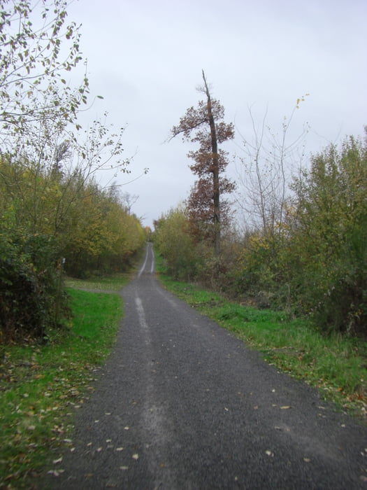
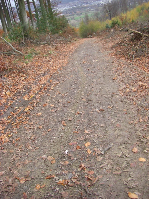
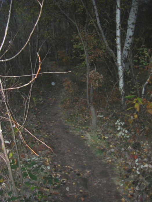
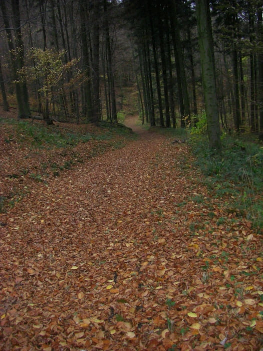
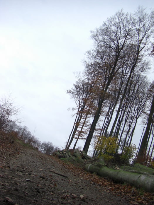
Start ist an der Spvgg Durlach Aue. Über den Oberwald zur Hedwigsquelle nach Ettlingen zum Kreuzelsberg hoch nach Spessart wieder zurück nach Ettlingen hoch zum Wattkopf, die Hochspannungsleitungen runter nach Wolfartsweier zurück zur Spvgg Durlach Aue.

Tour gallery

Tour map and elevation profile

  • Open Street Map
  • Google
Minimum height 111 m Maximum height 377 m Detailed view

More about the tour author

stroher
Member since 2008

Send private message

Comments

GPS tracks

Trackpoints
  • GPX / Garmin Map Source (gpx) download
  • TCX / Garmin Training Center® (tcx) download
  • CRS / Garmin Training Center® (crs) download
  • Google Earth (kml) download
  • G7ToWin (g7t) download
  • TTQV (trk) download
  • Overlay (ovl) download
  • Fugawi (txt) download
  • Kompass (DAV) Track (tk) download
  • Track data sheet (pdf) download
  • Original file of the author (gpx) download

More about the tour author

stroher
Member since 2008

Send private message
Share track
Add to my favorites
Remove from my favorites
Edit tags
My score
Rate
Track: Trainingsrunde Kreuzelsberg Wattkopf
Type: Mountain bike
Distance: 26,6 km
Evaluated on:
Duration:
Day(s)
Hour(s)
Minute(s)
Score: Landscape Fun factor Fitness Technique