


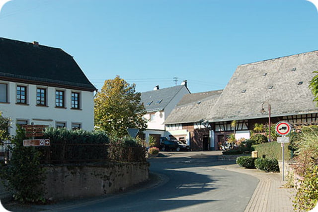
Schöne Radtour über meist Asphaltierte Wege. Einmal über die höhen des Vierherrenwalds am Fusse des Hochwalds entlang ( zum Teil Regional ausgewiesene Radwege) ganz bis nach oben auf den Idarkopf, am Wintersportgebiet vorbei und dann fast nur noch Bergab.
Anmerkung: Zum Idarkopf leider ein Steiles Stück über Waldwege das man vielleicht schieben muss (z.B. meine Frau).
Lange Abfahrt belohnt aber für die Mühe.
Ps. Von Hinzerrath lohnt sich noch ein Abstecher zur Burgruine Baldenau
Further information at
http://www.harfenmuehle.deTour gallery


Tour map and elevation profile
Minimum height 390 m
Maximum height 728 m
More about the tour author
|
|
Plunschbauch |
Comments

Start Campingplatz Harfenmühle
Start: www.harfenmuehle.net
GPS tracks
Trackpoints-
GPX / Garmin Map Source (gpx) download
-
TCX / Garmin Training Center® (tcx) download
-
CRS / Garmin Training Center® (crs) download
-
Google Earth (kml) download
-
G7ToWin (g7t) download
-
TTQV (trk) download
-
Overlay (ovl) download
-
Fugawi (txt) download
-
Kompass (DAV) Track (tk) download
-
Track data sheet (pdf) download
-
Original file of the author (gpx) download
More about the tour author
|
|
Plunschbauch |
Add to my favorites
Remove from my favorites
Edit tags
Open track
My score
Rate