Login

Forgot your login?

Cookies have to be accepted!
Your browser's cookie functionality is disabled. Please enable this functionality.

Not a member yet?

Register now
Login

Available for registred users only

Log in to use this feature.

Forgot your login?

Cookies have to be accepted!
Your browser's cookie functionality is disabled. Please enable this functionality.

Not a member yet?

Register now
Filter
Categories
Advanced filters
  • Distance (km)
  • Height
Save filters Reset filter

TrackRank

QRCode

Technical data

Distance55,5 km Height609 m Way down630 m Duration04:20 h:m Date10.11.2008
Scores Author Landscape Fun factor Fitness Technique

Statistics

733 Views Scores 117 Downloads Average
Rate
  • Track data sheet
  • Directions
  • Downloads

Abseits der Hauptstrassen von Schaftlach über Lenggries zum Sylvensteinspeicher. Von dort über das Scharnbachtal zurück nach Lenggries.

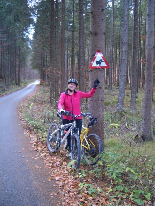
Viel Schotter - nur von Lenggries hoch zum Sylvensteinspeicher führt der Radweg leider neben der Bundesstrasse.

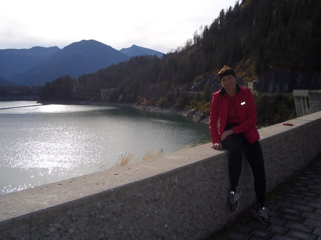
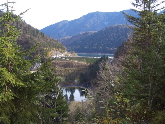
Vom Sylvensteinspeicher ein recht steiler Anstieg hoch ins Scharrnbachtal.

Tour gallery

Tour map and elevation profile

  • Open Street Map
  • Google
Minimum height 668 m Maximum height 943 m Detailed view

More about the tour author

cami
Member since 2008

Send private message

Comments

Ausgangspunkt ist der Bahnhof in Schaftlach.

Ziel ist der Bahnhof in Lenggries

GPS tracks

Trackpoints
  • GPX / Garmin Map Source (gpx) download
  • TCX / Garmin Training Center® (tcx) download
  • CRS / Garmin Training Center® (crs) download
  • Google Earth (kml) download
  • G7ToWin (g7t) download
  • TTQV (trk) download
  • Overlay (ovl) download
  • Fugawi (txt) download
  • Kompass (DAV) Track (tk) download
  • Track data sheet (pdf) download
  • Original file of the author (gpx) download

More about the tour author

cami
Member since 2008

Send private message
Share track
Add to my favorites
Remove from my favorites
Edit tags
My score
Rate
Track: Schaftlach-Sylvenstein-Lenggries
Type: Mountain bike
Distance: 55,5 km
Evaluated on:
Duration:
Day(s)
Hour(s)
Minute(s)
Score: Landscape Fun factor Fitness Technique