Login

Forgot your login?

Cookies have to be accepted!
Your browser's cookie functionality is disabled. Please enable this functionality.

Not a member yet?

Register now
Login

Available for registred users only

Log in to use this feature.

Forgot your login?

Cookies have to be accepted!
Your browser's cookie functionality is disabled. Please enable this functionality.

Not a member yet?

Register now
Filter
Categories
Advanced filters
  • Distance (km)
  • Height
Save filters Reset filter

TrackRank

QRCode

Technical data

Distance59,0 km Height447 m Way down430 m Duration04:30 h:m Date10.11.2008
Scores Author Landscape Fun factor Fitness Technique

Statistics

515 Views Scores 114 Downloads Average
Rate
  • Track data sheet
  • Directions
  • Downloads

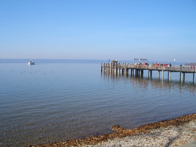
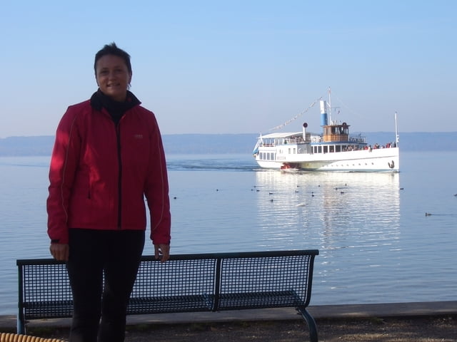
Landschaftlich sehr reizvolle Tour von Herrsching nach München.

Dabei geht es über Andechs und Gauting nach Pullach. Endstation ist in der "Waldwirtschaft".

Tour gallery

Tour map and elevation profile

  • Open Street Map
  • Google
Minimum height 507 m Maximum height 706 m Detailed view

More about the tour author

cami
Member since 2008

Send private message

Comments

Start ist in Herrsching am S-Bahnhof.

Ziel ist die "Waldwirtschaft" in Pullach.

GPS tracks

Trackpoints
  • GPX / Garmin Map Source (gpx) download
  • TCX / Garmin Training Center® (tcx) download
  • CRS / Garmin Training Center® (crs) download
  • Google Earth (kml) download
  • G7ToWin (g7t) download
  • TTQV (trk) download
  • Overlay (ovl) download
  • Fugawi (txt) download
  • Kompass (DAV) Track (tk) download
  • Track data sheet (pdf) download
  • Original file of the author (gpx) download

More about the tour author

cami
Member since 2008

Send private message
Share track
Add to my favorites
Remove from my favorites
Edit tags
My score
Rate
Track: Herrsching-München
Type: Mountain bike
Distance: 59,0 km
Evaluated on:
Duration:
Day(s)
Hour(s)
Minute(s)
Score: Landscape Fun factor Fitness Technique