

Diese Tour hat mir riesig viel Spaß gemacht.
Leider habe meine geplante MTB Tour in Gisselberg abbrechen müssen – daher geht der Rückweg ausschließlich über asphaltierten Fahrradweg – werde aber bei Gelegenheit einen Erweiterungstrack für diese Tour in`s Netz stellen.
Bei dem Wegpunkt „Achtung“ muss man auf die Straße wechseln – hier sollte man Vorsicht walten lassen. Bei wegpunkt 006 oder 005 sind gute Parkmöglichkeiten - aber 006 ist besser.
Viel Spaß beim nachfahren
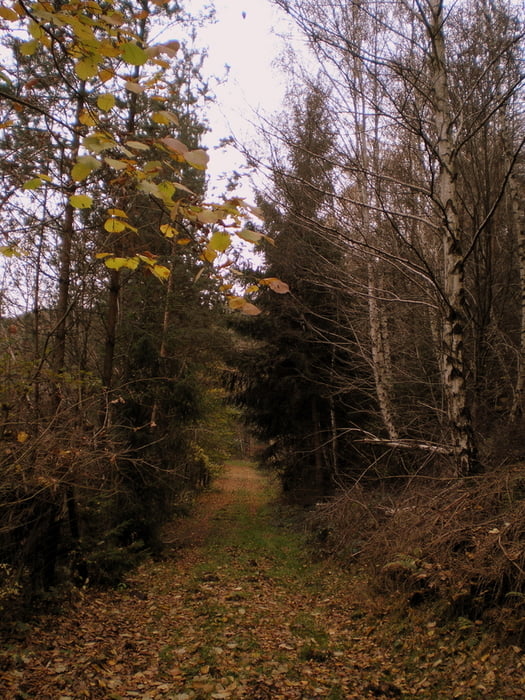
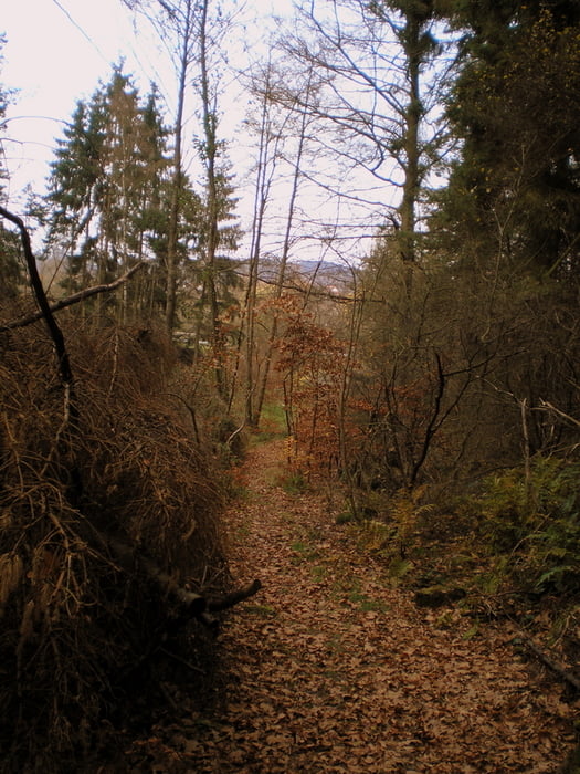
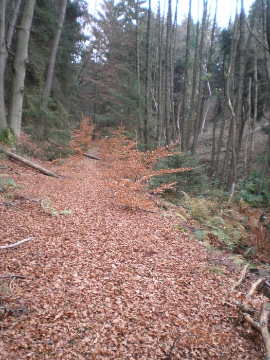
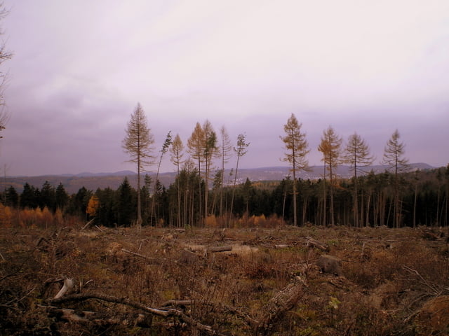
Tour gallery

Tour map and elevation profile
Minimum height 130 m
Maximum height 377 m
More about the tour author
|
|
Heinrichs |
Comments

GPS tracks
Trackpoints-
GPX / Garmin Map Source (gpx) download
-
TCX / Garmin Training Center® (tcx) download
-
CRS / Garmin Training Center® (crs) download
-
Google Earth (kml) download
-
G7ToWin (g7t) download
-
TTQV (trk) download
-
Overlay (ovl) download
-
Fugawi (txt) download
-
Kompass (DAV) Track (tk) download
-
Track data sheet (pdf) download
-
Original file of the author (gpx) download
More about the tour author
|
|
Heinrichs |
Add to my favorites
Remove from my favorites
Edit tags
Open track
My score
Rate