Login

Forgot your login?

Cookies have to be accepted!
Your browser's cookie functionality is disabled. Please enable this functionality.

Not a member yet?

Register now
Login

Available for registred users only

Log in to use this feature.

Forgot your login?

Cookies have to be accepted!
Your browser's cookie functionality is disabled. Please enable this functionality.

Not a member yet?

Register now
Filter
Categories
Advanced filters
  • Distance (km)
  • Height
Save filters Reset filter

TrackRank

QRCode

Technical data

Distance25,4 km Height463 m Way down437 m Duration01:20 h:m Date17.11.2008
Scores Author Landscape Fun factor Fitness Technique

Statistics

250 Views Scores 23 Downloads Average
Rate
  • Track data sheet
  • Directions
  • Downloads

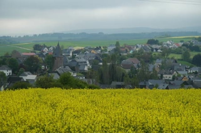
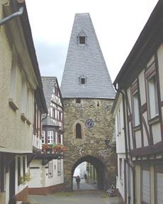
Von der Harfenmühle zum historischen Ortskern Herrstein.

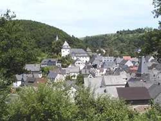
Weiter hoch bis Breitenthal und am südlichen Hang des Idarwaldes über Felder wieder zurück

Further information at

http://www.harfenmuehle.net

Tour gallery

Tour map and elevation profile

  • Open Street Map
  • Google
Minimum height 298 m Maximum height 501 m Detailed view

More about the tour author

Plunschbauch
Member since 2008

Send private message

Comments

Von der Rezeption des Campingplatzes Harfenmühle

GPS tracks

Trackpoints
  • GPX / Garmin Map Source (gpx) download
  • TCX / Garmin Training Center® (tcx) download
  • CRS / Garmin Training Center® (crs) download
  • Google Earth (kml) download
  • G7ToWin (g7t) download
  • TTQV (trk) download
  • Overlay (ovl) download
  • Fugawi (txt) download
  • Kompass (DAV) Track (tk) download
  • Track data sheet (pdf) download
  • Original file of the author (gpx) download

More about the tour author

Plunschbauch
Member since 2008

Send private message
Share track
Add to my favorites
Remove from my favorites
Edit tags
My score
Rate
Track: Zum Historischen Herrstein über den südlichen Hang des Idarwaldes
Type: Trekkingbike
Distance: 25,4 km
Evaluated on:
Duration:
Day(s)
Hour(s)
Minute(s)
Score: Landscape Fun factor Fitness Technique