


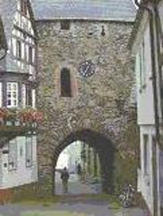
Kleine Wanderung von der Harfenmühle durch Tannenwälder Raps und Getreidefelder
bis in den wunderhübschen Ortskern von Herrstein. Unbedingt besichtigen. Am
Ortseingang, kurz hinter der Feuerwache links befindet sich die Touristinformation von Herrstein
PS. Neu in Herrstein ist die neue Traumschleife des Saar Hunsrück Steig
Further information at
http://www.harfenmuehle.netTour gallery

Tour map and elevation profile
Minimum height 298 m
Maximum height 501 m
More about the tour author
|
|
Plunschbauch |
Comments

Start Rezeption Campingplatz Harfenmühle
55758 Mörschied / Ortsteil Harfenmühle
GPS tracks
Trackpoints-
GPX / Garmin Map Source (gpx) download
-
TCX / Garmin Training Center® (tcx) download
-
CRS / Garmin Training Center® (crs) download
-
Google Earth (kml) download
-
G7ToWin (g7t) download
-
TTQV (trk) download
-
Overlay (ovl) download
-
Fugawi (txt) download
-
Kompass (DAV) Track (tk) download
-
Track data sheet (pdf) download
-
Original file of the author (gpx) download
More about the tour author
|
|
Plunschbauch |
Add to my favorites
Remove from my favorites
Edit tags
Open track
My score
Rate