


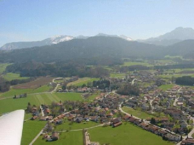
Eine kleine Runde durch das Samerberg Hochtal hinunter zum Inn und über einen Uphill zurück ins Hochtal. In den Wiesen des Hochtals gibt es ein paar schöne Singletrails, von denen einige in die Tour eingebaut sind.
Tour gallery
Tour map and elevation profile
Minimum height 445 m
Maximum height 807 m
More about the tour author

|
Comments

Autobahn A8 München-Salzburg, Ausfahrt 104 Achenmühle, weiter nach Achenmühle, dort rechts abbiegen Richtung Törwang, nach wenigen Kilometern links Richtung Grainbach. In Grainbach nicht der Rechtskehre folgen, sondern geradeaus Richtung Schöffau. Der Strasse immer geradeaus folgen und am Spatenauparkplatz parken.
Alternativer Startort : Am Inn : Neubeuern oder Nussdorf (Ich hab im Hochtal gewohnt, deshalb bin ich von dort gestartet)
Alternativer Startort : Am Inn : Neubeuern oder Nussdorf (Ich hab im Hochtal gewohnt, deshalb bin ich von dort gestartet)
GPS tracks
Trackpoints-
GPX / Garmin Map Source (gpx) download
-
TCX / Garmin Training Center® (tcx) download
-
CRS / Garmin Training Center® (crs) download
-
Google Earth (kml) download
-
G7ToWin (g7t) download
-
TTQV (trk) download
-
Overlay (ovl) download
-
Fugawi (txt) download
-
Kompass (DAV) Track (tk) download
-
Track data sheet (pdf) download
-
Original file of the author (g7t) download
More about the tour author
|
|
Add to my favorites
Remove from my favorites
Edit tags
Open track
My score
Rate