


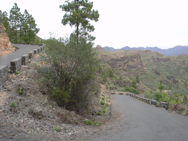
Eine flache Anfahrt und ein steiles Ende, zeichnen diese Tour aus. Die Tour folgt der GC500 aus Playa del Ingles bis kurz vor Arguineguin, wo nach dem Schotterwerk der ruhigere Teil der Tour beginnt. Nur wenig Verkehr stört die ausgeschilderte Radstrecke ins Tal des Arguineguin, die GC505 nach Soria. Zwei Kilometer hinter Cercados de Espinos zieht die Steigung empfindlich an. Kurz vor Soria biegt man links zum Tauropaß ab. Der Wendepunkt der Tour ist beim Stausee: Embalse Salto del Perro. Mit Blicken über das Tal und ins Inselinnere zum Nationalpark, tritt man über die Anfahrtsstrecke den Rückweg an. Ein Abstecher zum Stausee von Soria bietet weiters die Möglichkeit einer Einkehr im kleinen Restaurant.
Tour gallery

Tour map and elevation profile
Minimum height 2 m
Maximum height 934 m
More about the tour author
|
|
chrisi |
Comments

Gestartet wird in Playa del Ingles.
GPS tracks
Trackpoints-
GPX / Garmin Map Source (gpx) download
-
TCX / Garmin Training Center® (tcx) download
-
CRS / Garmin Training Center® (crs) download
-
Google Earth (kml) download
-
G7ToWin (g7t) download
-
TTQV (trk) download
-
Overlay (ovl) download
-
Fugawi (txt) download
-
Kompass (DAV) Track (tk) download
-
Track data sheet (pdf) download
-
Original file of the author (gpx) download
More about the tour author
|
|
chrisi |
Add to my favorites
Remove from my favorites
Edit tags
Open track
My score
Rate