


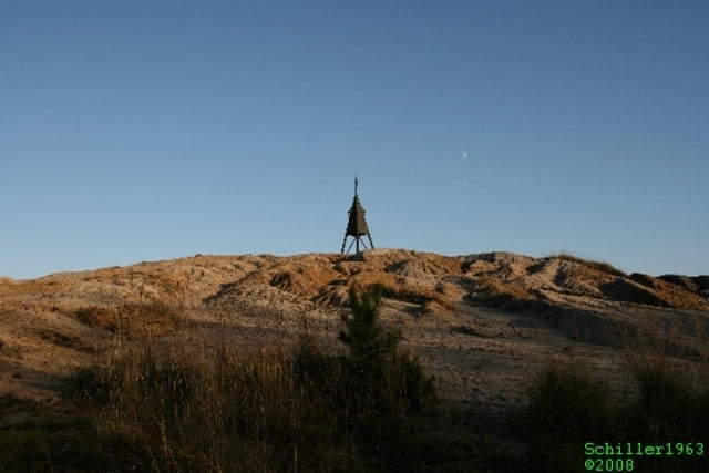
70 km Wanderwege warten auf der Abraumhalde von Rheinbraun darauf erwandert zu werden. Je nach Wetterlage bietet diese Tour hervorragende Ausblicke, u. a. auf:
- Tagebau Hambach
- Kernforschungsanlage Jülich
- den Dom in Kölle
- die Braunkohle-Kraftwerke
Die Wege sind recht breit und gut befestigt. Mehrere interessante Punkte sind der Römerturm, das Haller Horn und die Jülicher Höhe. Das Wegenetz wird immer weiter ausgebaut. Außerdem gibt es ein Wildgehege, coole Wege für Mountainbiker und für konditionell fitte Läufer.
Im Winter bietet die Heidelandschaft gute Blicke. Wir sind gespannt auf einen schönen Sommer- oder Frühlingstag, an dem auch noch Blüten und Blätter zu sehen sind.
Insgesamt eine eher leichte Tour, aber lohnenswert.
Further information at
http://de.wikipedia.org/wiki/Sophienh%C3%B6heTour gallery


Tour map and elevation profile
Minimum height 99 m
Maximum height 289 m
More about the tour author
|
|
Schiller1963 |
Comments

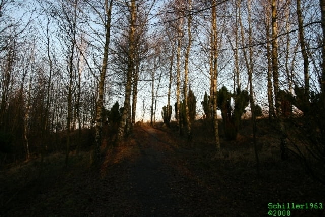
Ausgangspunkt ist der Parkplatz beim Cafe Sophienhöhe in der Nähe von Hambach. Im Cafe kann man eine Kleinigkeit essen und es gibt ein gutes Bierchen.
GPS tracks
Trackpoints-
GPX / Garmin Map Source (gpx) download
-
TCX / Garmin Training Center® (tcx) download
-
CRS / Garmin Training Center® (crs) download
-
Google Earth (kml) download
-
G7ToWin (g7t) download
-
TTQV (trk) download
-
Overlay (ovl) download
-
Fugawi (txt) download
-
Kompass (DAV) Track (tk) download
-
Track data sheet (pdf) download
-
Original file of the author (gpx) download
More about the tour author
|
|
Schiller1963 |
Add to my favorites
Remove from my favorites
Edit tags
Open track
My score
Rate